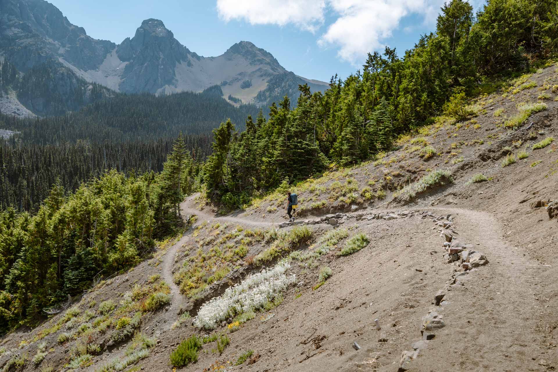
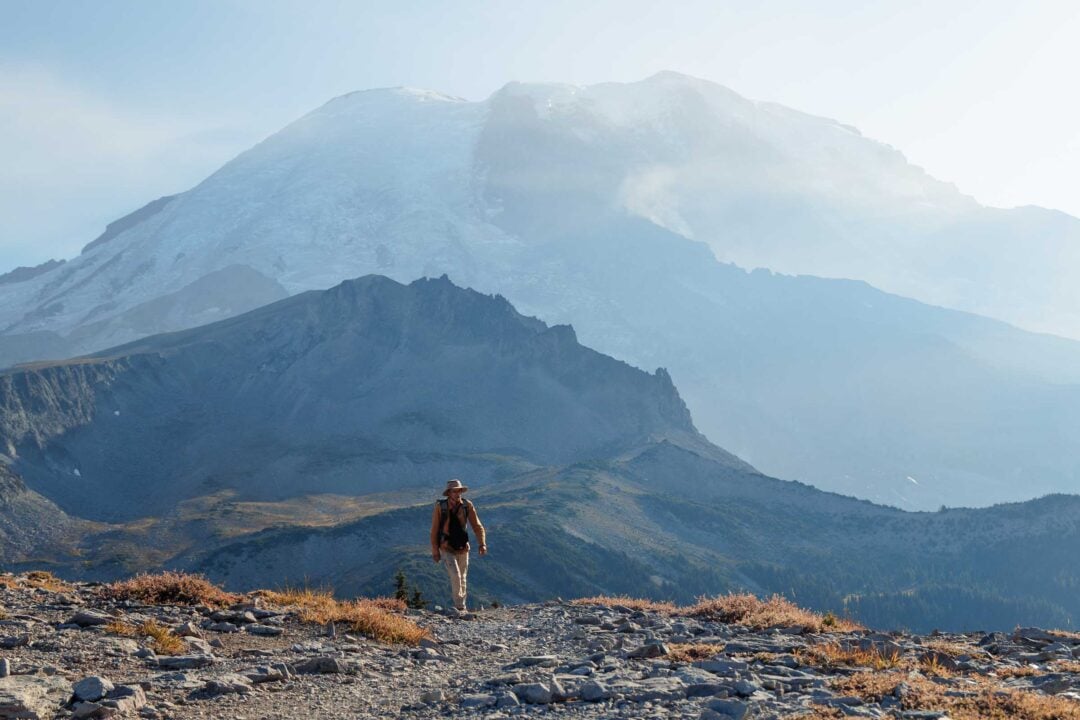
The Tubal Cain Mine hike in Washington leads you up a gentle path through lush forests and moss-covered rivers. Along the way, you can explore the Tubal Cain Mine and the wreckage from a B-17 airplane crash. The trail continues up the mountain through alpine meadows to the emerald-colored Buckhorn Lake.
Tubal Cain Mine to Buckhorn Lake Hike Guide
In this article, we will share with you all the details about the Tubal Cain Mine to Buckhorn Lake hike including how to find the plane crash and where to camp. We will also share our full experience and all of our photos of the hike including photos of the B-17 crash and camping at Buckhorn Lake so you can get an idea of what the adventure is like.
Tubal Cain Mine to Buckhorn Lake Trail Details
- Hike Distance: The hike distance from the Tubal Cain trailhead to Buckhorn Lake is 6 miles one-way, or 12 miles round-trip. If you decide to do the side trip to the B-17 plane crash, it will add 1.2 miles to your adventure.
- Hike Duration: If you hike directly to Buckhorn Lake you can expect the adventure to take about 3 hours one-way or 6 hours round-trip. If you do the side-trip hike up to the B-17 plane crash, add 1 hour to your adventure.
- Hike Difficulty: The hike to Buckhorn Lake is a gradual slope and pretty simple. The trail is well-maintained and perfect for new hikers. We did the hike in August and had sunny weather for most of the hike, although we’ve heard that snow can be on the trail until July. The areas of difficulty are the hike up to the plane crash and the hike down to Buckhorn Lake. Both these sections are a little steep, but if you take short breaks you can make it without trouble.
- Hike Incline: From the trailhead to Buckhorn Lake the total incline is about 2,000 feet. The incline from the cutoff on the main trail to the plane crash is about 450 feet.
- Hike Passes/Permits: There are no fees or permits that you need to do this hike, which is kind of rare for the area. The only pass you need is a free wilderness permit that you can self-register for and obtain at the trailhead.
- Hike Closure Dates: The Tubal Cain Trail is technically never closed, but the road that goes to the Tubal Cain trailhead is closed from October 1 to May 1.
- Campsites: There are many unmarked wilderness campsites along the trail. The campsites are at the beginning of the Tubal Cain Trail, the Copper Creek crossing, and Buckhorn Lake.
- Dogs: This is a dog-friendly trail and we passed many other hikers with their dogs while hiking the trail.
How to Get to the Tubal Cain Trail
Location: Tubal Cain Trailhead – Google Maps
The adventure to the Tubal Cain Trail takes you along unpaved roads into the Olympic mountains. This area is the driest part of the Olympic Forest, so your car will get dusty as you drive along the gravel roads.
Most of the road is one lane but there are plenty of pull-out areas to let other vehicles pass. We pulled over many times to let those more familiar with the road pass.
The road is well-maintained and there are no major rutted-out areas on the road, so you can drive a sedan if you go slowly. We drove our small crossover SUV on the roads at 15-20 mph without any issues.
When you get to the Tubal Cain Trail entrance there is a parking area with enough room for about 15 to 20 cars.
The map location for the Tubal Cain Trail linked above is accurate. If you use Google Maps to navigate, it will take you directly to the location of the trailhead.

Tubal Cain Mine to Buckhorn Lake Hike: Our Experience
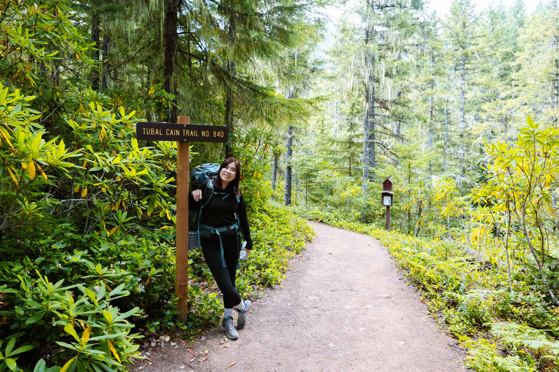
The Tubal Cain Trail is 6 miles to Buckhorn Lake. The entire hike is on a gradual slope with no intense inclines so it’s perfect for beginner backpackers. This was also the perfect hike for us since it was our first backpacking adventure of the season.
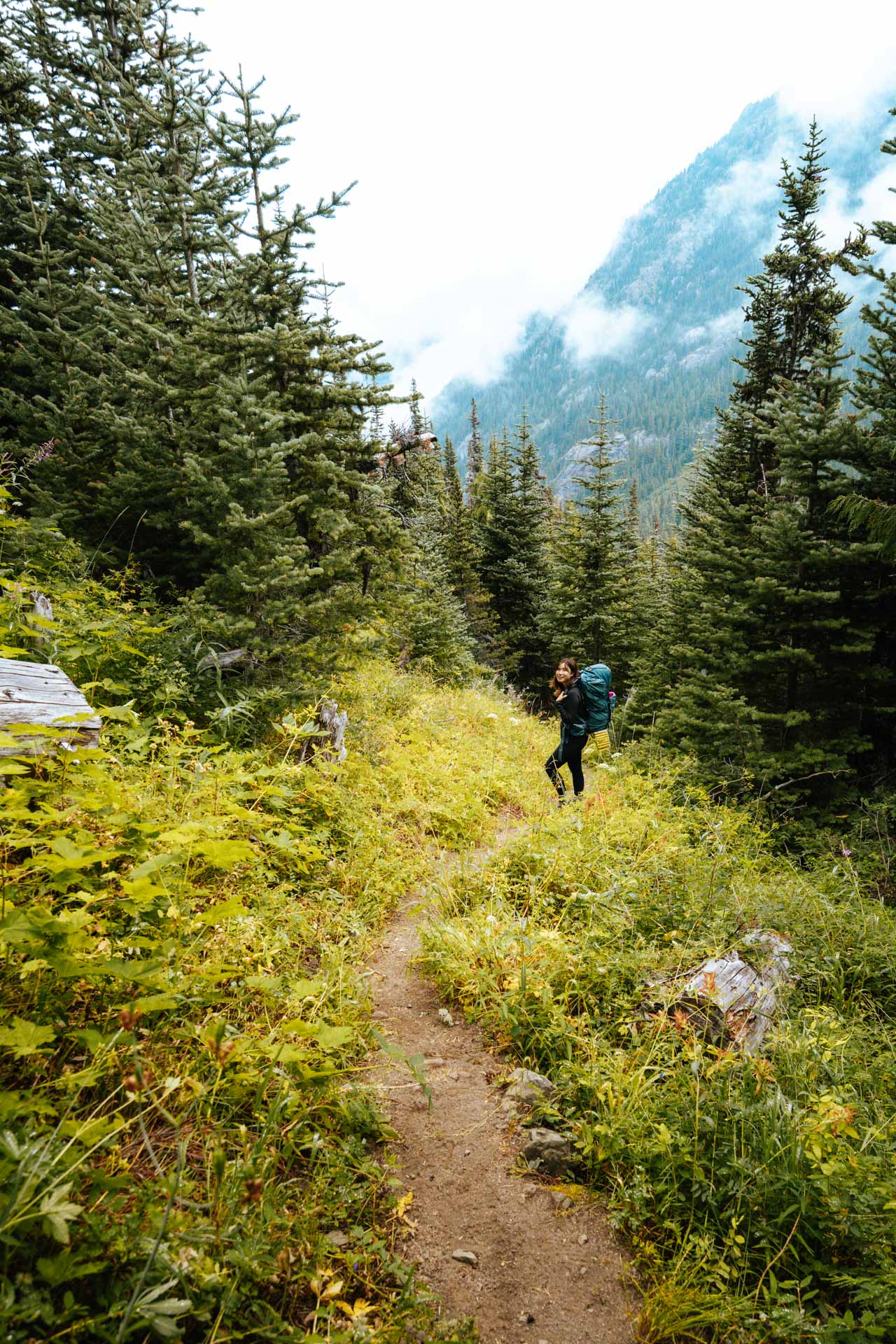
The first two-thirds of the hike was a straightforward trek through spruce forests up a valley. There was really no place to go off-trail. This section of the hike was also completely shaded so it was more like a relaxing walk through the woods.
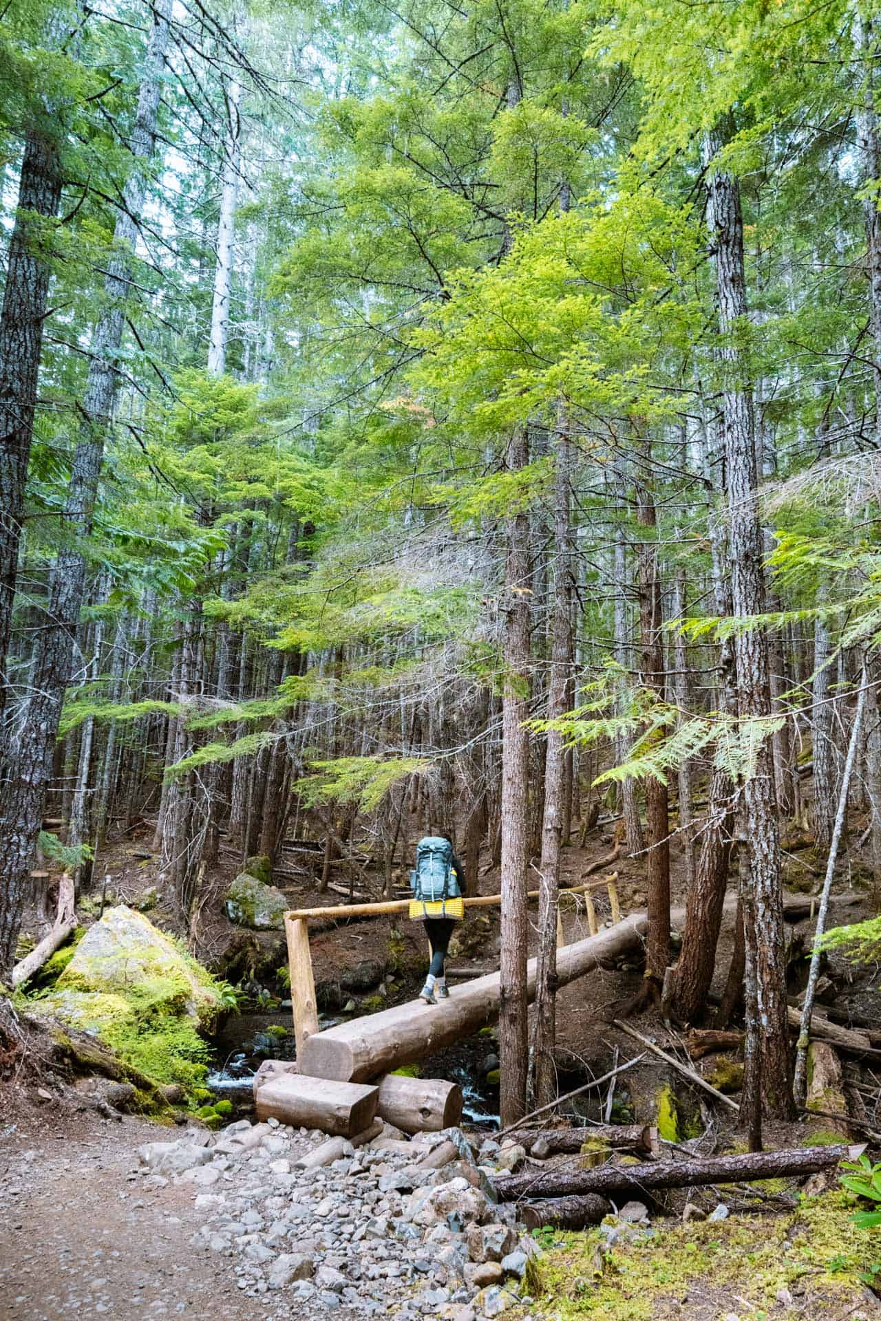
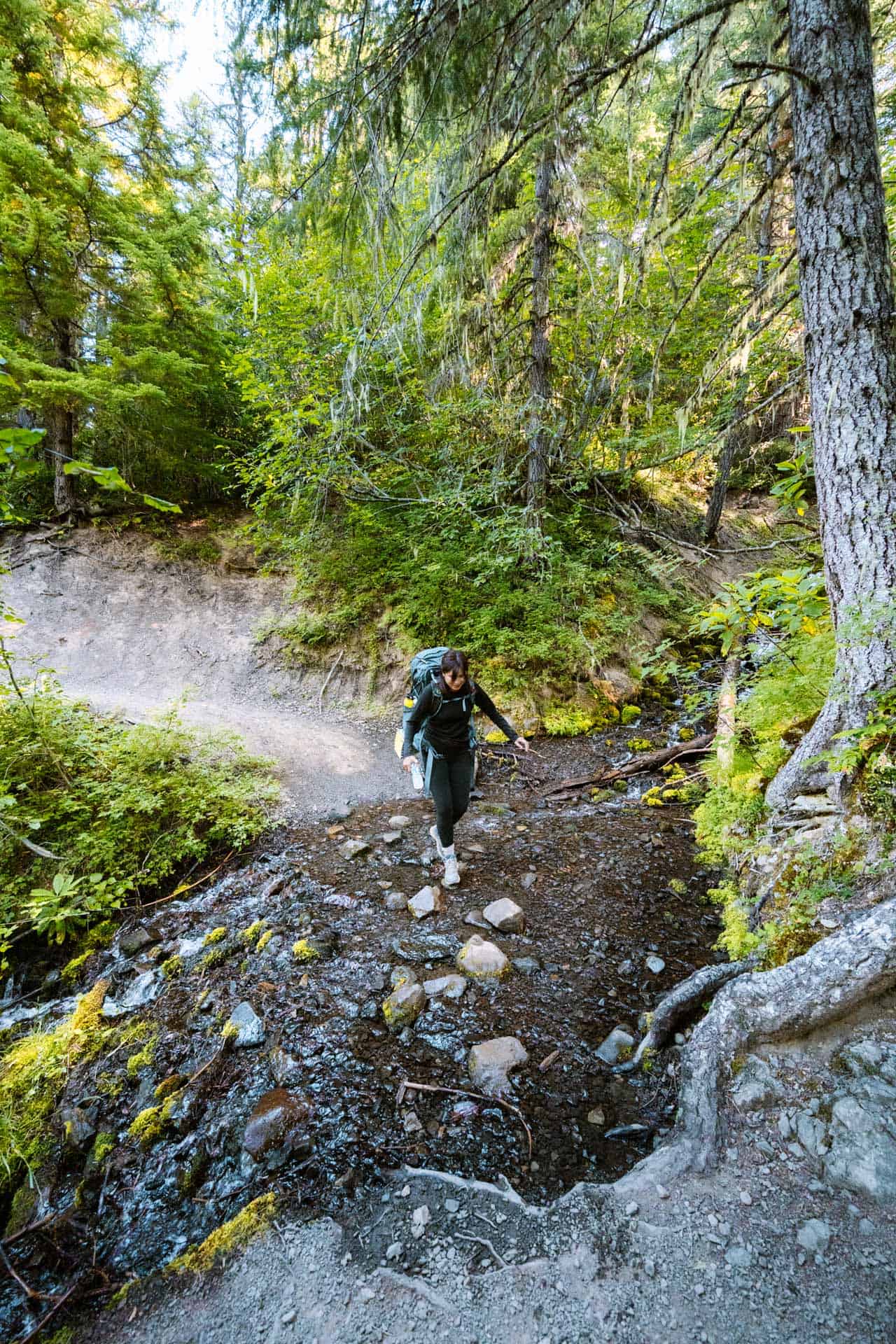
The spruce forest completely blocked out the sunlight on some portions – I wasn’t used to hikes being this dark. Chloe told me that’s what makes the Olympic Mountains so special, and I was all for it.
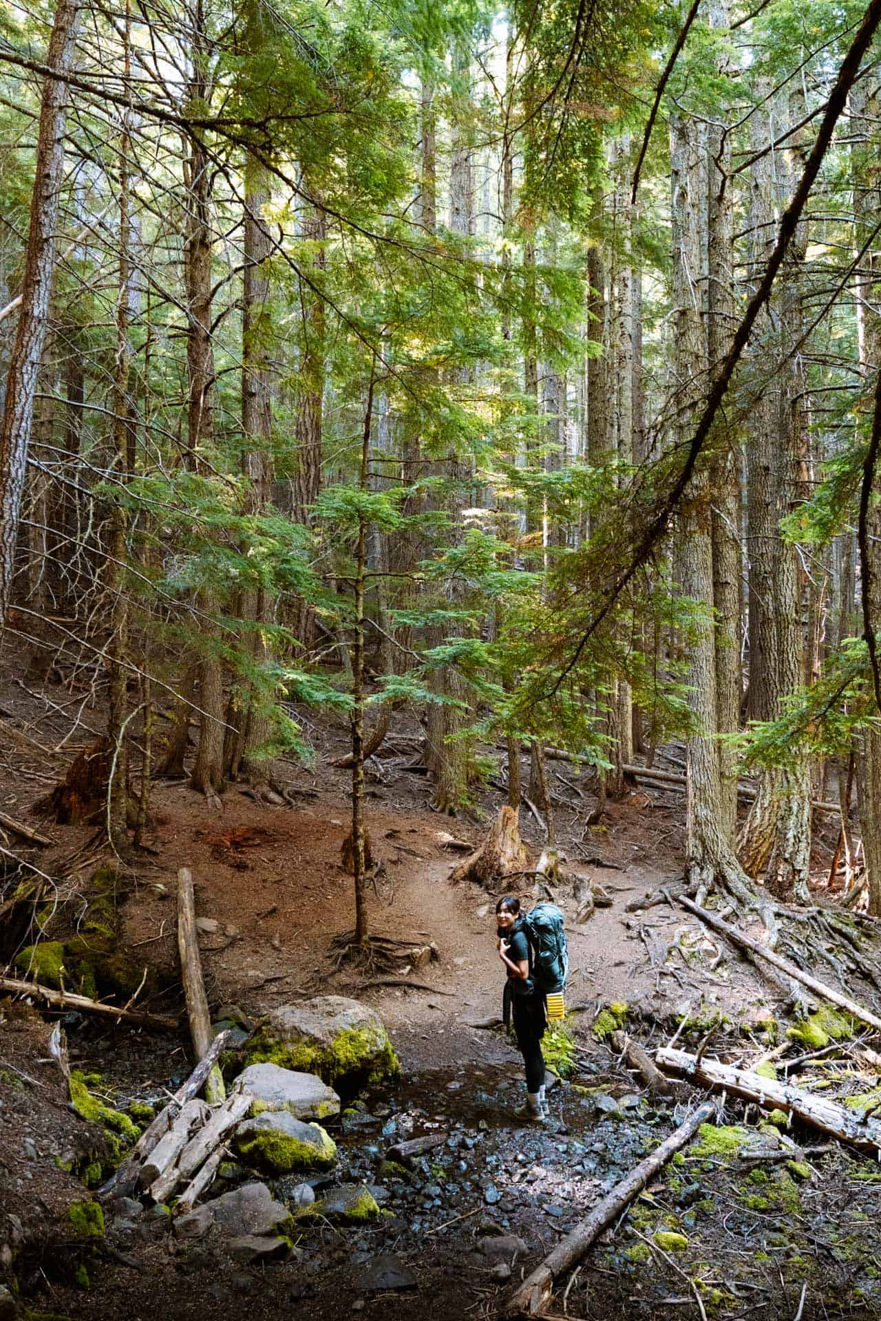
Our plan was to check out the Tubal Cain Mine on the way to Buckhorn Lake and then stop by the B-17 Plane crash on the way back from the lake. However, we completely missed the Tubal Cain Mine on our way to Buckhorn. We eventually found the mine on our way back so we’ve also included this handy map below – something we failed to bring during our hike 🤦🏻♂️
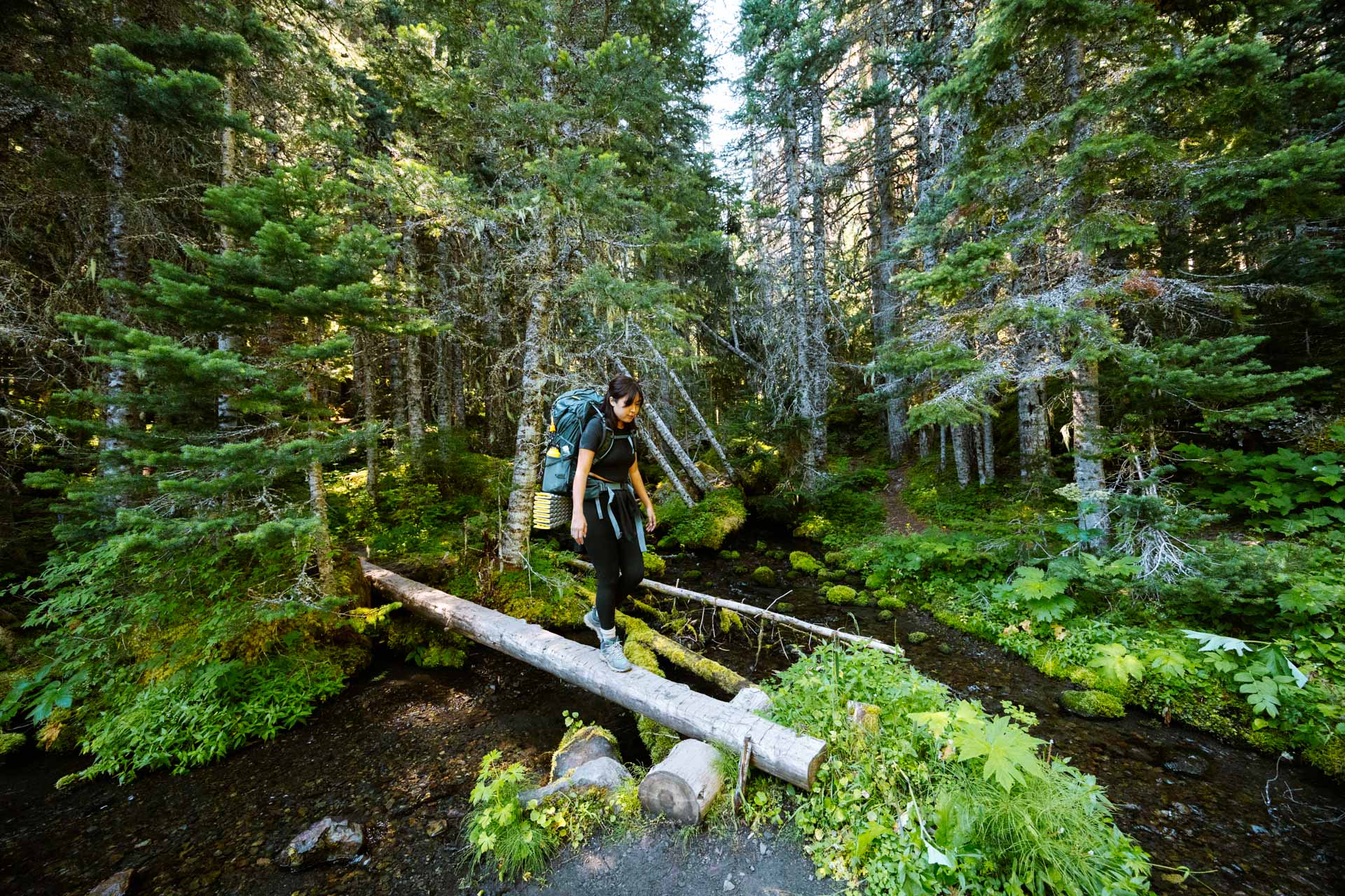
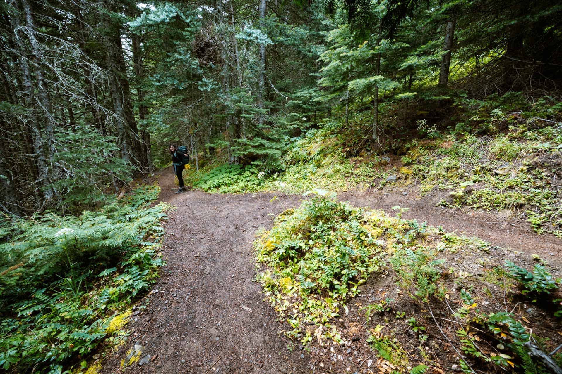
Once we got to the creek crossing, there were 3 different paths we could follow.
The widest trail has a wooden sign that points to Buckhorn Lake. We decided to go this route because it has more switchbacks for an easier hike up the mountain.
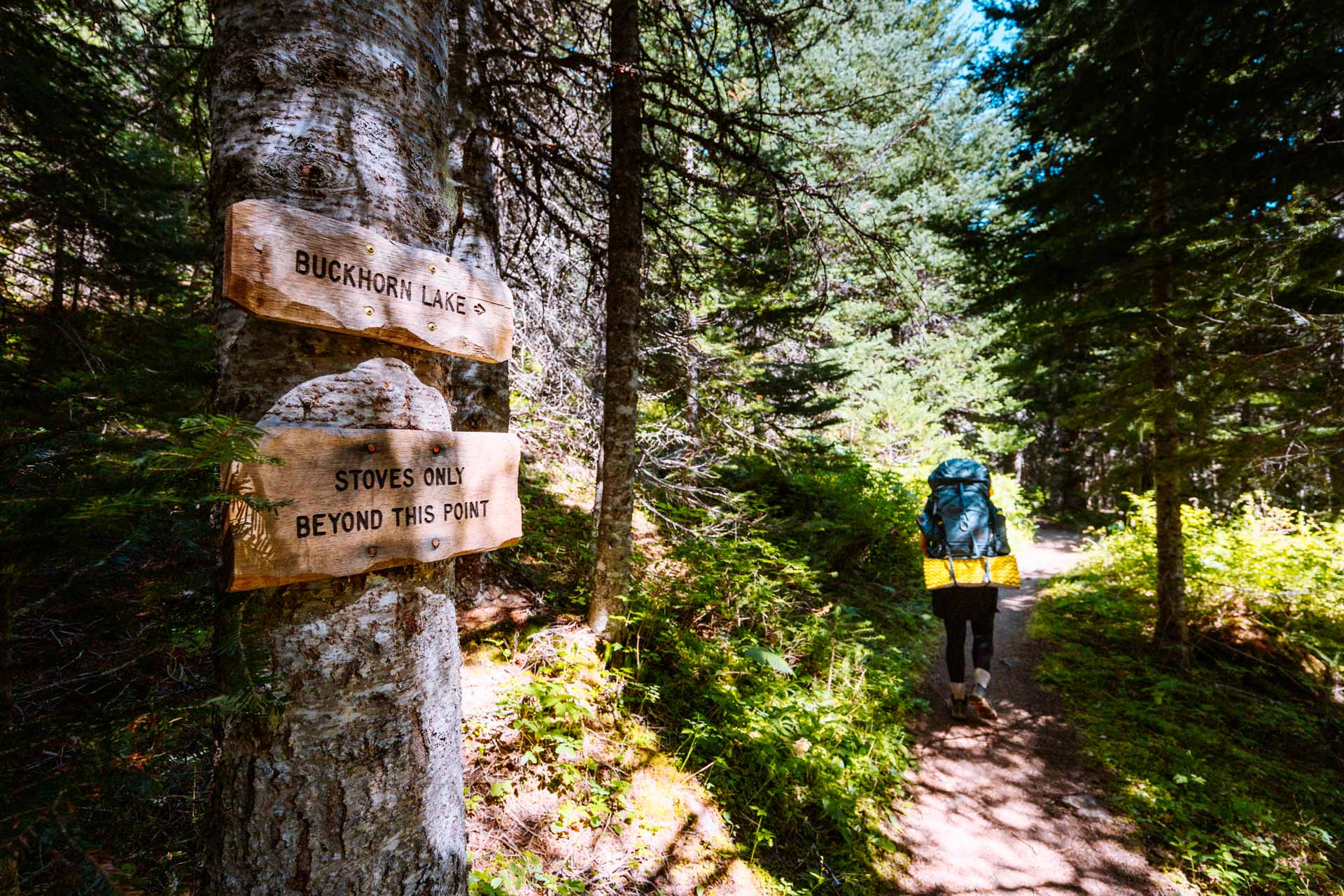
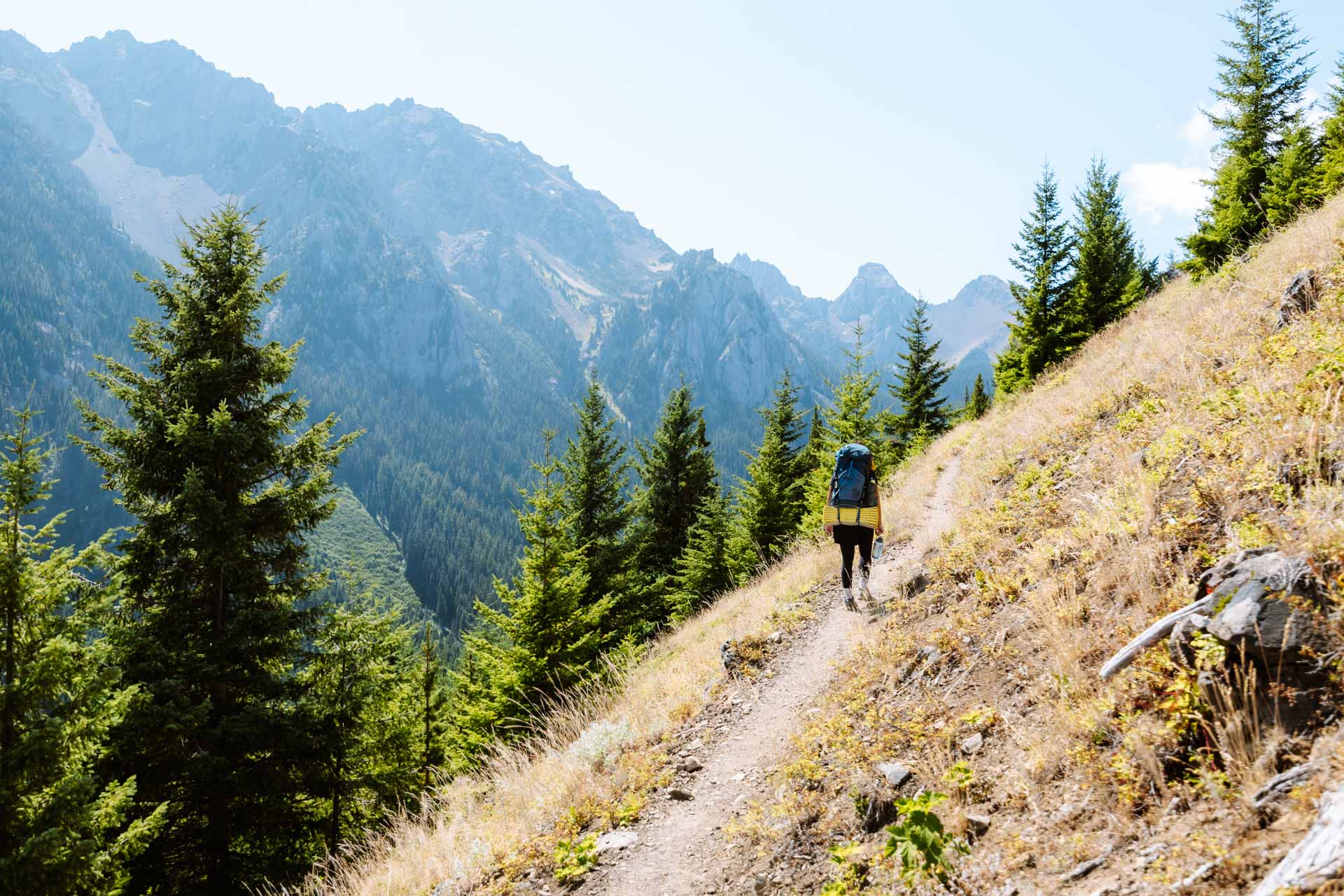
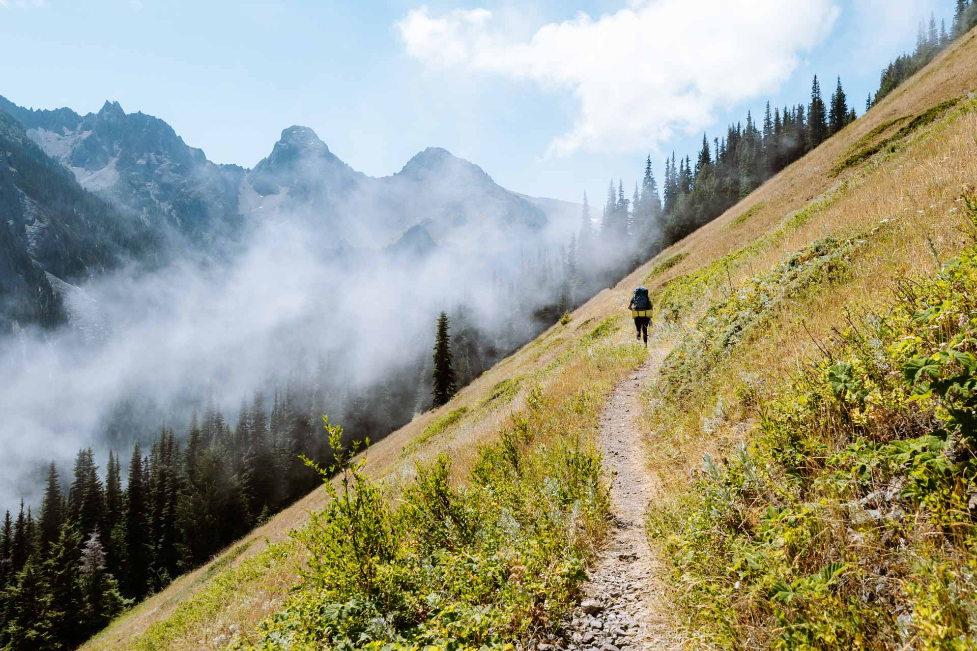
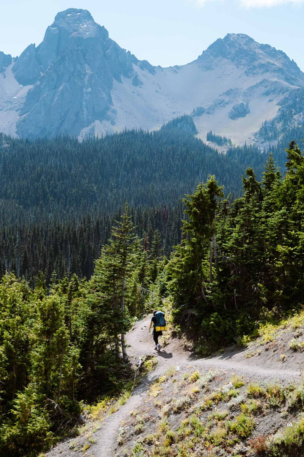
We were happy to go on the longer route as we walked through some beautiful wildflowers. Eventually, the switchbacks ended and we came to an opening in the canopy. The trail was now completely open to the sunlight so we recommend bringing sun protection for this portion of the hike.
We could see the peaks of the mountains in the distance. This was our favorite part of the hike, as we could see the land we conquered below and the majestic mountains above. The cold breeze came in and pushed pockets of clouds out of the valley below and onto the trail in front of us.
Camping at Buckhorn Lake
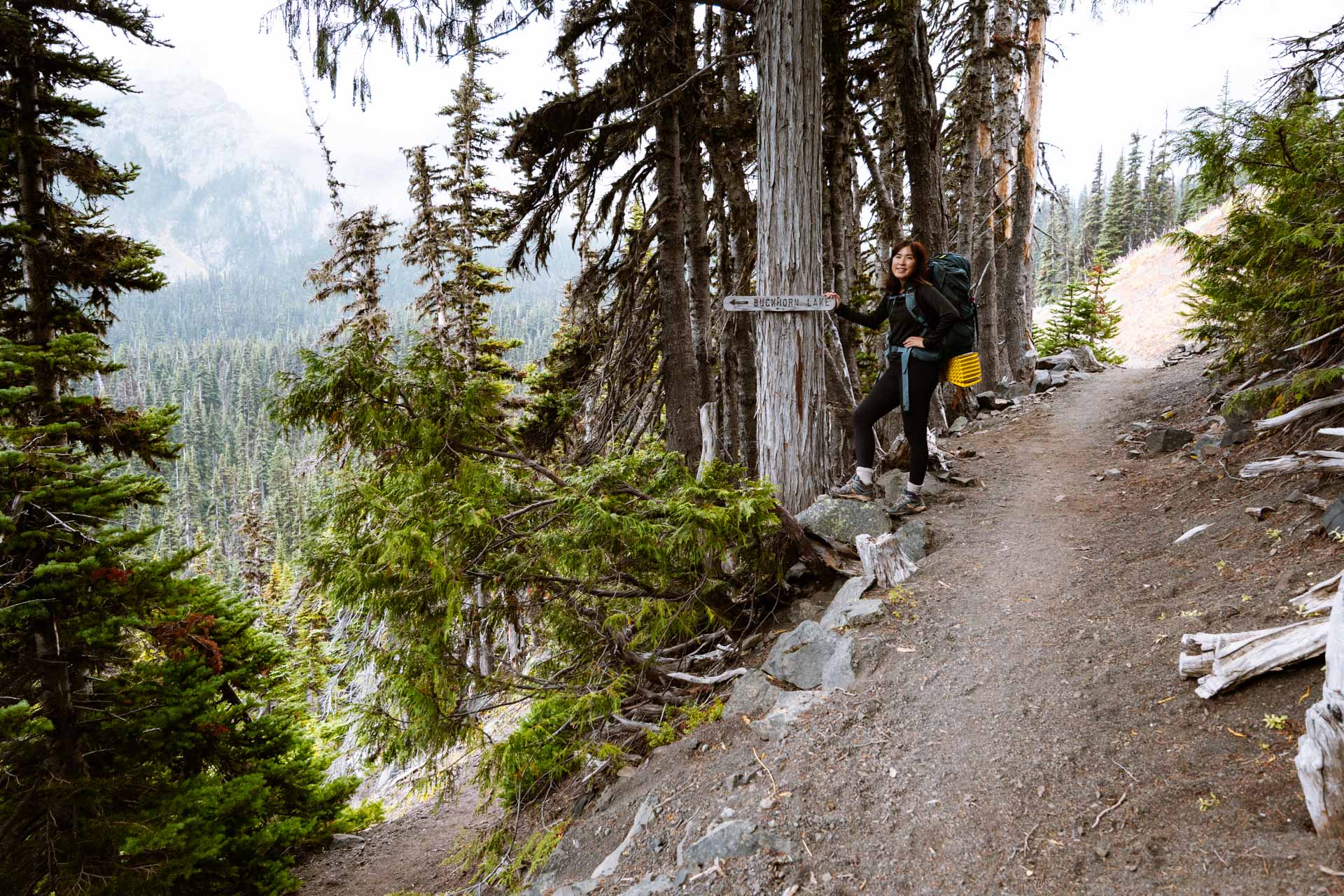
The trail continued at a gentle slope straight up the valley until it reached the cutoff for Buckhorn Lake. The Buckhorn Lake trail cutoff is impossible to miss since the trail makes an obvious fork and a wooden sign marks the trail to Buckhorn Lake.
The hike down to Buckhorn Lake is a little more rigorous than the rest of the hike due to a steeper incline down. It was honestly a little refreshing to hike through more interesting terrain after the never-ending gradual slope, even if my knees started to hurt on the way down.
On our way to Buckhorn Lake, we found about 5 campsites scattered alongside the trail, but there may be more. One campsite was so huge that it could fit multiple groups. Funny story – Chloe and a friend actually had to camp in the huge spot a while ago as it was the only spot left and it unfortunately bothered one of the other groups there. We think that it’s always good to be kind to others and share the wilderness but I guess some may see differently.
Thankfully, we didn’t have to worry about other campers this time because we arrived at Buckhorn Lake at 1:30 PM on a Monday, so we were the first ones there. We explored the lake for a while but didn’t find many good spots next to the lake.
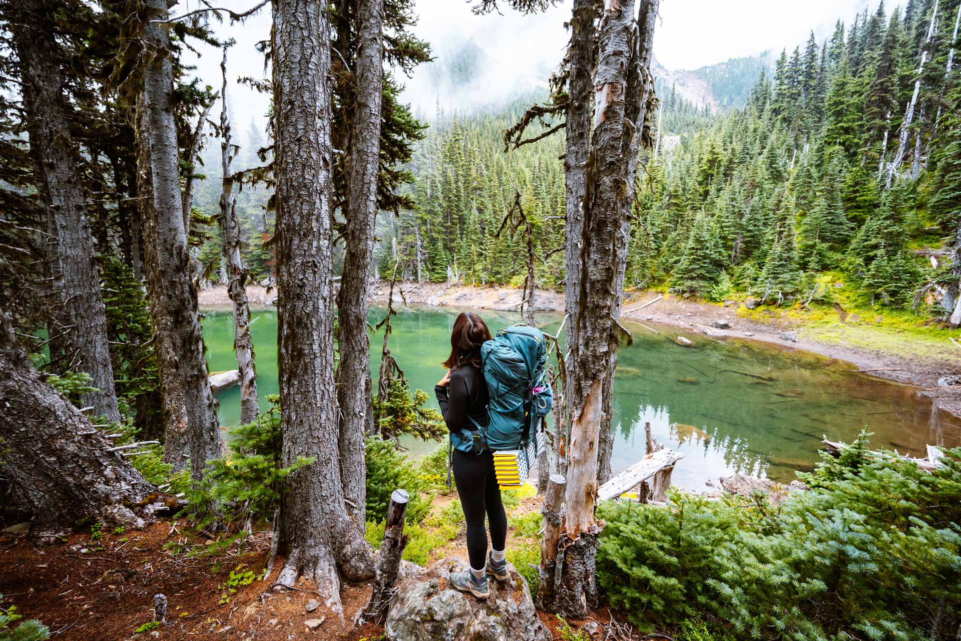
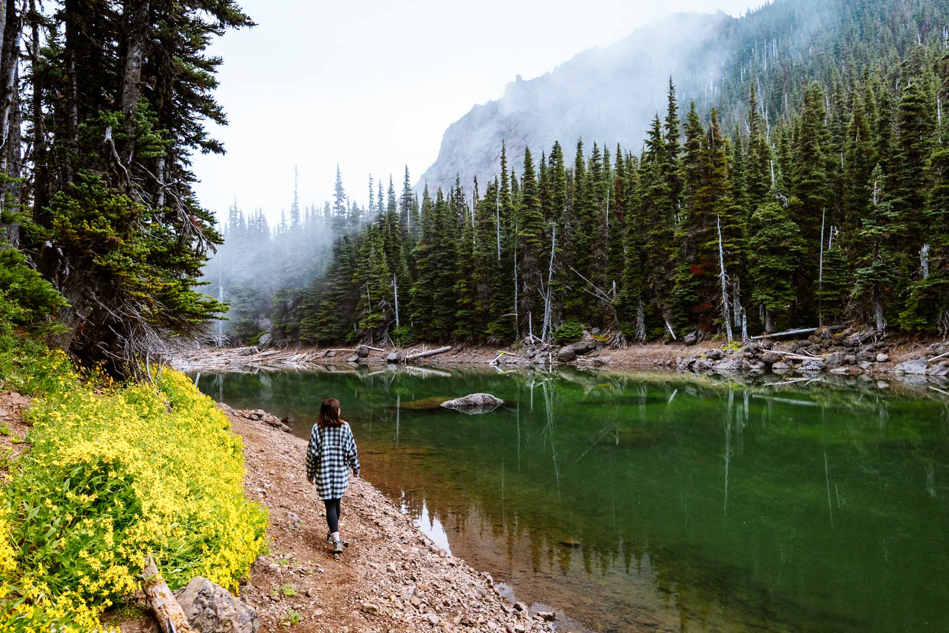
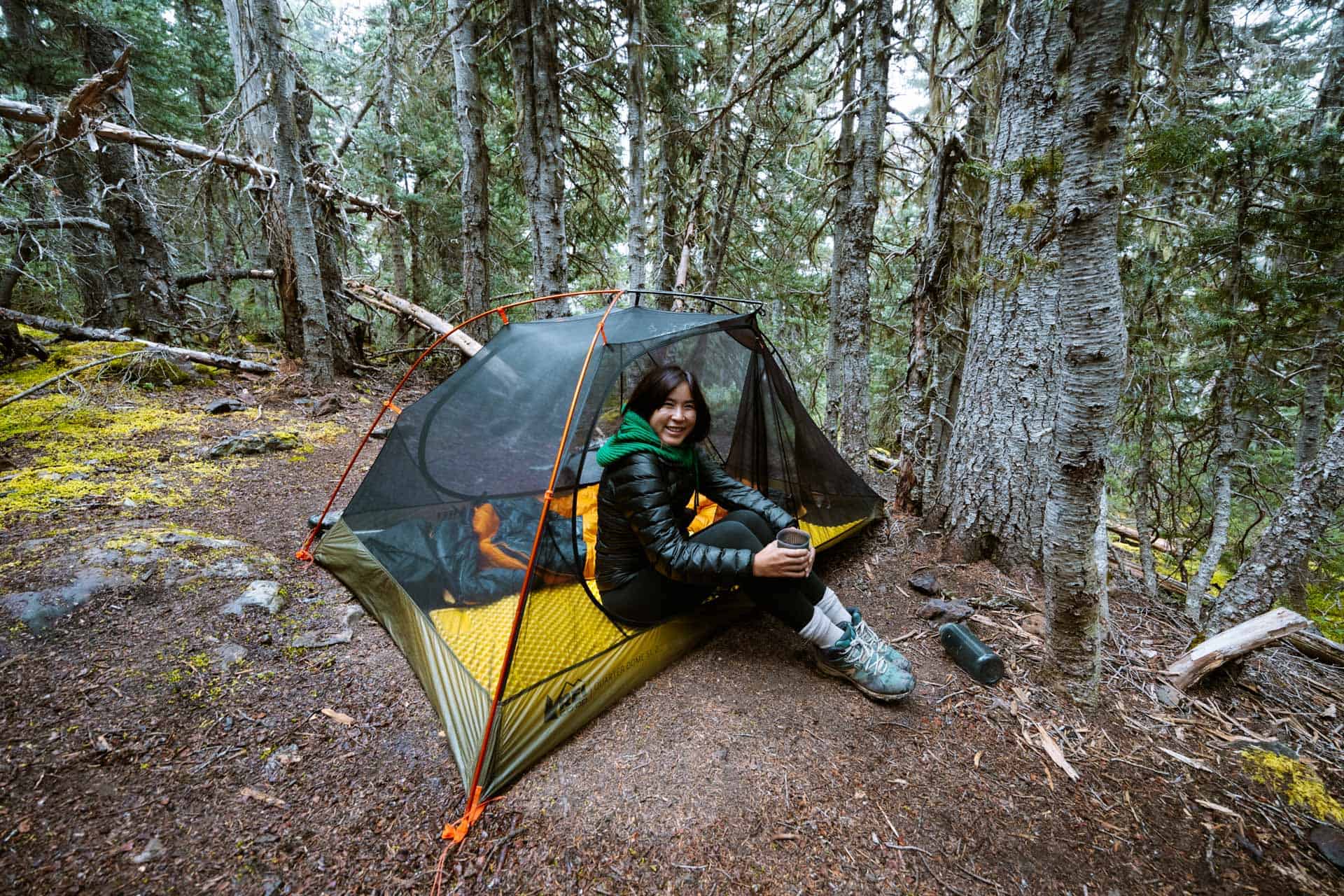
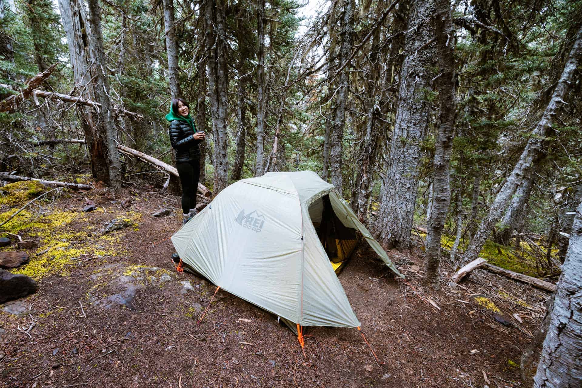
We decided to set up our campsite on the hillside overlooking the lake. It was rather private but the ground was not flat. We set up our tent on a slight incline which wasn’t ideal but we wanted to be by the lake.
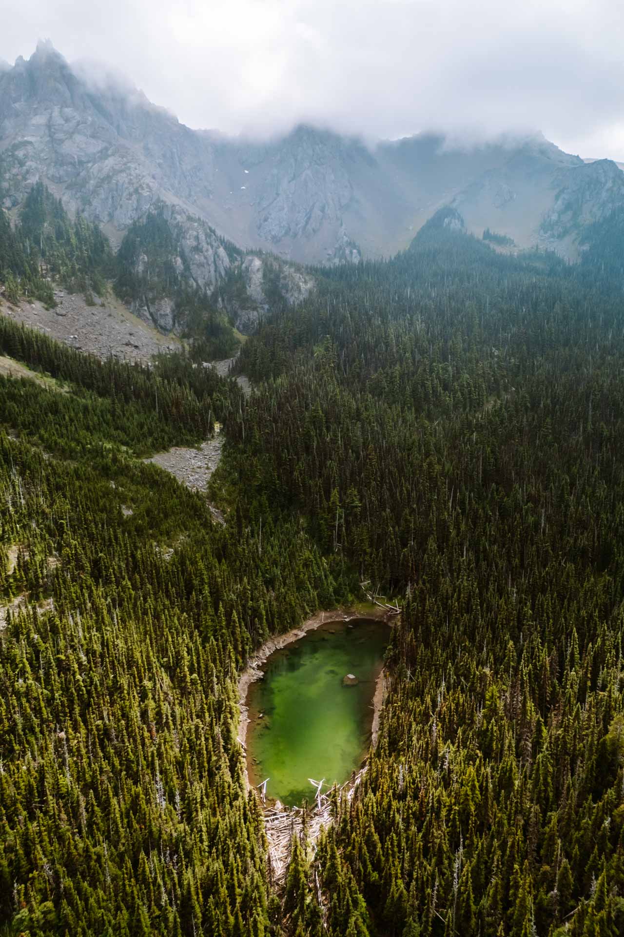
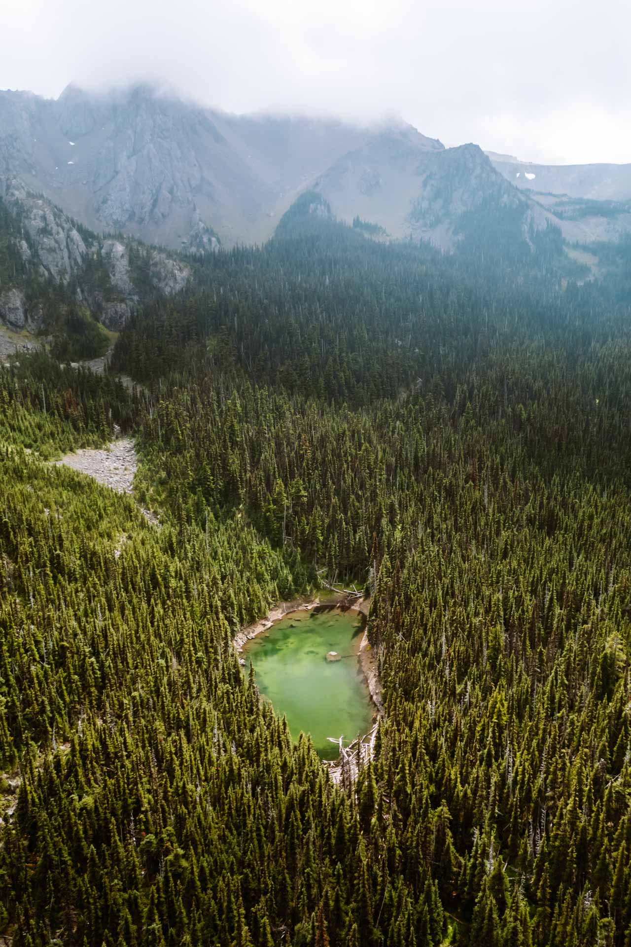
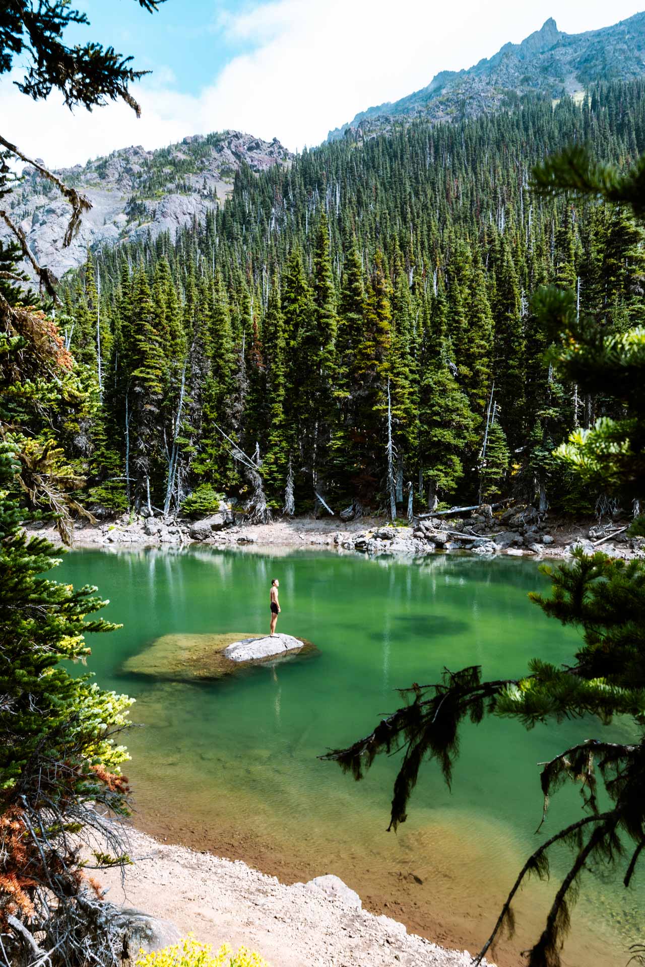
I took some time to check out the lake and my first thought was that it was tiny. I knew that it was going to be small, but it was so small that I wouldn’t have much trouble swimming across it. The lake also had this dark emerald-green color that lit up in the sunlight.
Once we got situated, the weather looked nice so I hopped in the lake for a cold plunge. When I dove in, the water sent a chill right into my bones. I’ve swam in cold lakes before but this one was a little more brisk than I could handle. I used my thermometer in the lake and it was 56 ºF! I got out quickly.
I was lucky that the sun was shining when I hopped in the lake because not long after I got out, things quickly changed. The fog slowly crept up the valley and engulfed the entire lake. There were a few moments when the fog was so thick that I had difficulty seeing the trees on the other side of the lake.
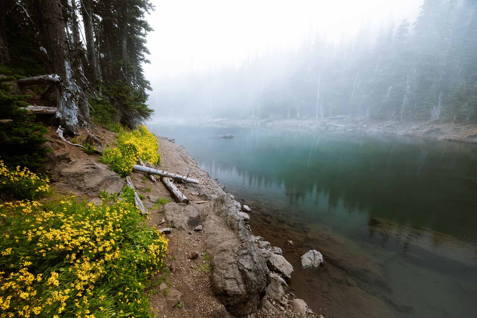
Once the fog came in, I knew it was here to stay and we wouldn’t get much of a sunset. With the dreary weather, there was no better place to be than my sleeping bag so that’s where I spent the rest of the night at Lake Buckhorn.
The fog lingered through the night and the next morning greeted us with light rain. Just enough to get our tent wet and make packing up a little messy.
Tubal Cain Trail Shortcut
After a good night’s rest, we left Buckhorn Lake and headed back down the mountain to the Tubal Cain trailhead.
We decided to take a shortcut down the Tubal Cain Trail. The shortcut is a steeper section that bypasses the switchbacks going up the ridge. The shortcut gave us a change of scenery and it also cut our hike down by 3/4 mile.
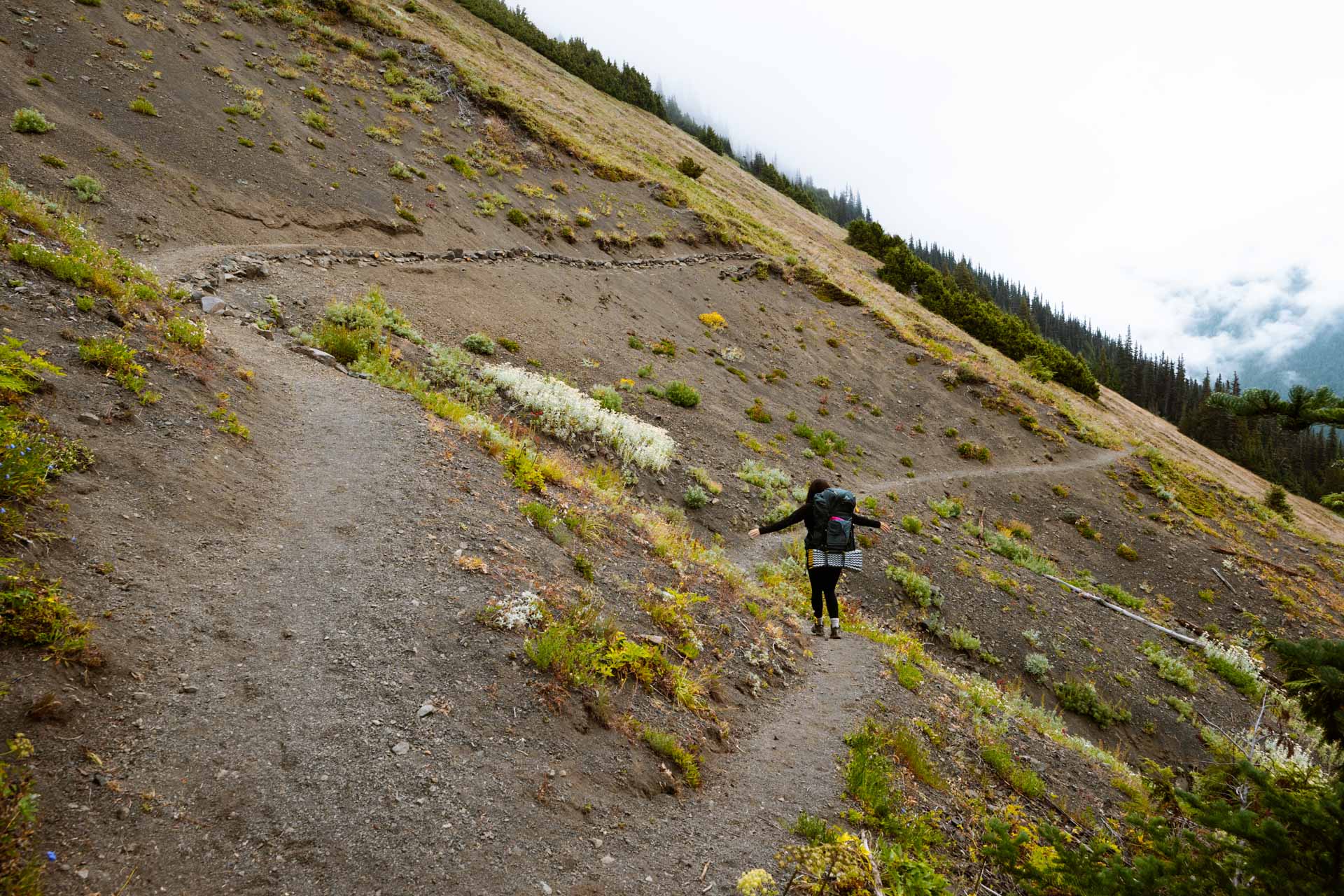
This shortcut section of the hike was beautiful. The wildflowers were more overgrown and the trail was narrower and more shaded. It was the perfect scenery for our hike down the mountain.

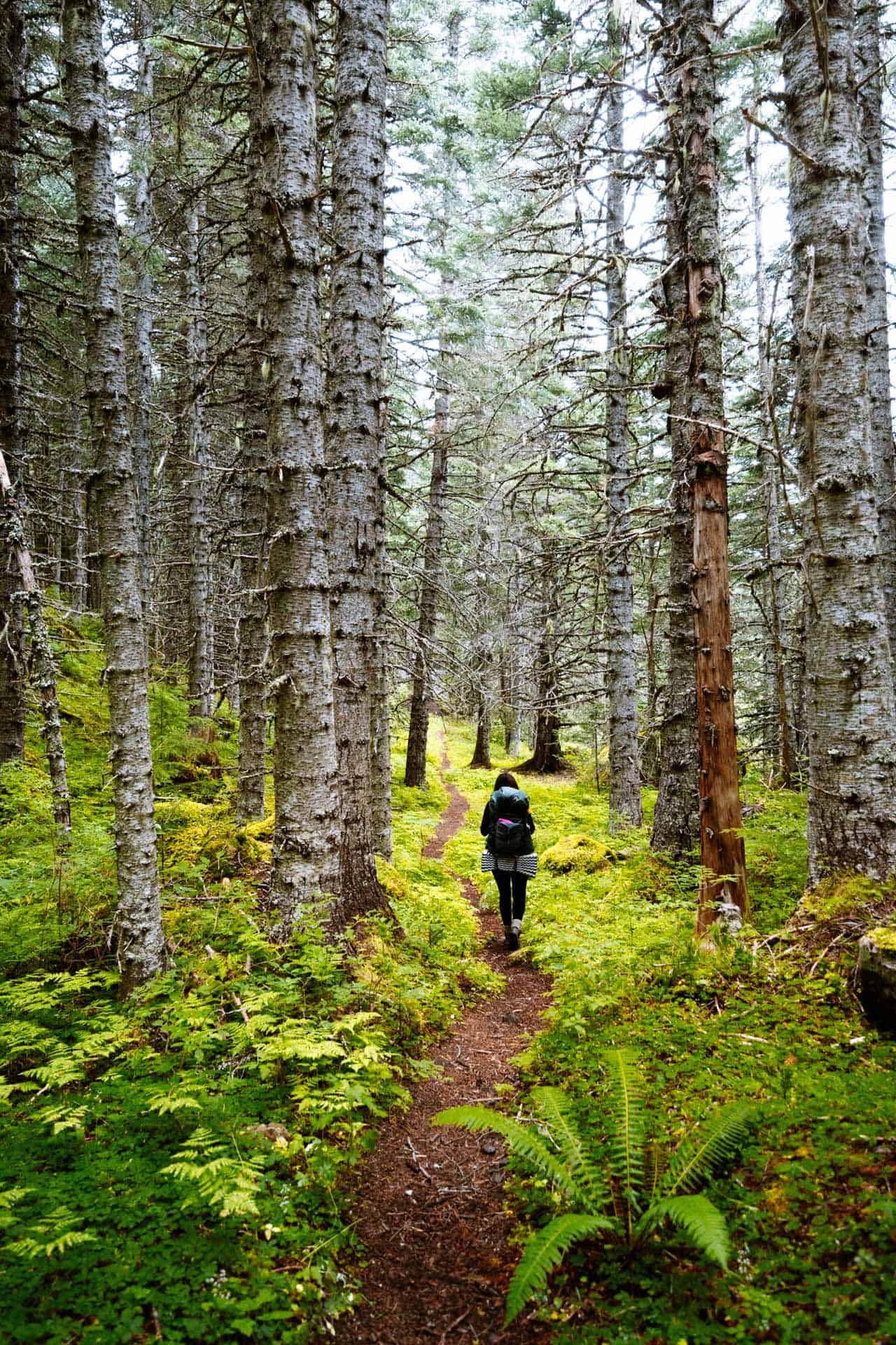
The shortcut connects to the main trail at the first switchback near the Copper Creek crossing. Taking the shortcut trail down cut a good amount of time off the trek. The shortcut isn’t difficult but it’s a little steep.
How to Find the Tubal Cain Mine
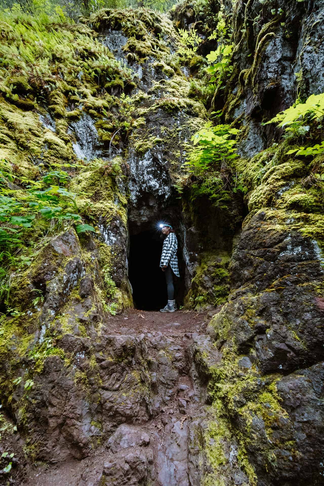
The Tubal Cain Mine is located just far enough off the main trail that it’s easy to miss. Believe me, we walked by this thing and didn’t notice it until we saw another group of hikers checking it out.

The mine entrance is at the beginning of the Tull Canyon trail cutoff. The Tull Canyon Trail connects to the Tubal Cain Trail at a tight turn, but if you look closely you’ll see the wooden sign for Tull Canyon. If you’re hiking in from the Tubal Cain trailhead and you reach the Copper Creek crossing you’ve gone too far.
How to Get to the B-17 Plane Crash
The Tull Canyon Trail also leads to the B-17 plane crash. If you keep going on the trail past the Tubal Cain Mine, the Tull Canyon Trail continues up the mountain and goes directly to the plane crash.
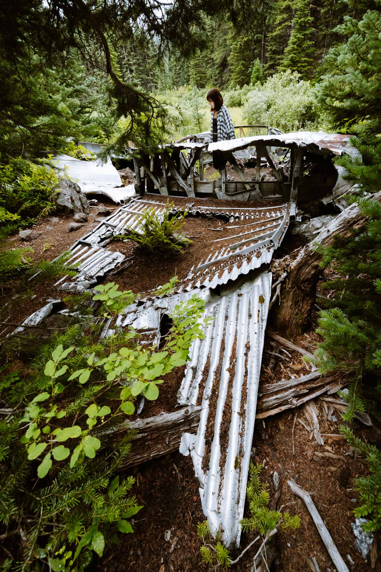

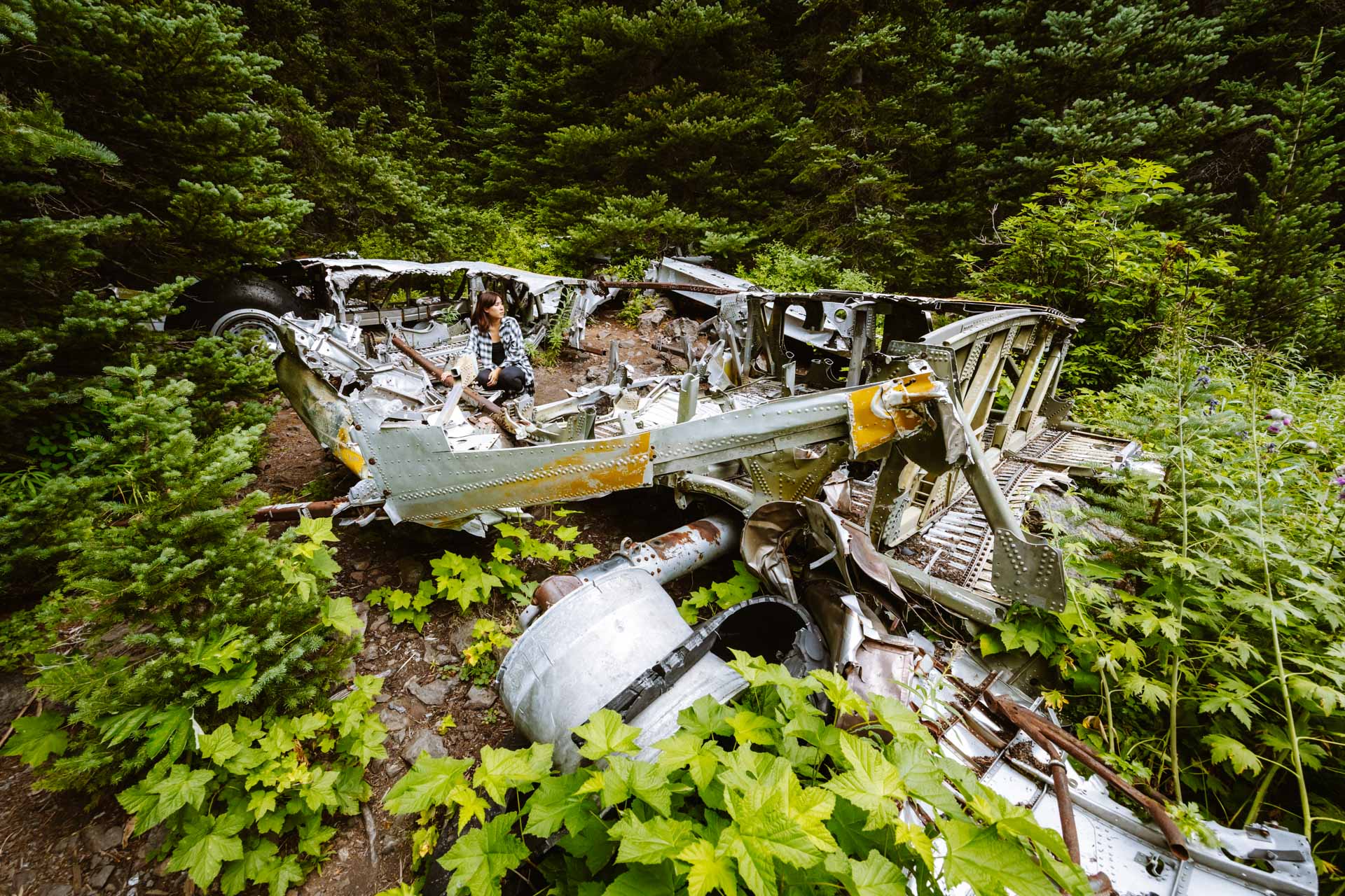
The B-17 was a search and rescue aircraft that crashed during a blizzard in 1952 when its wing clipped one of the ridges. The plane crashed and slid down the snowy mountain to the area where it remains today.
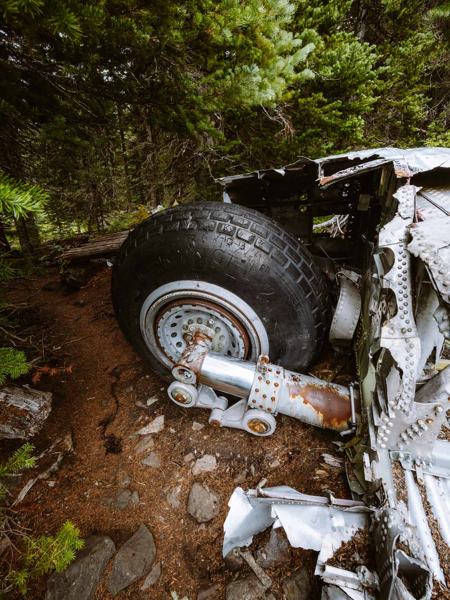
Some of the aluminum and chrome parts of the airplane are still intact. Even the tires are in decent shape for a 70-year old crash.
The crash is found in a beautiful meadow, we both had thoughts of how crazy this was probably the best place to crash considering this entire mountain is covered in trees.
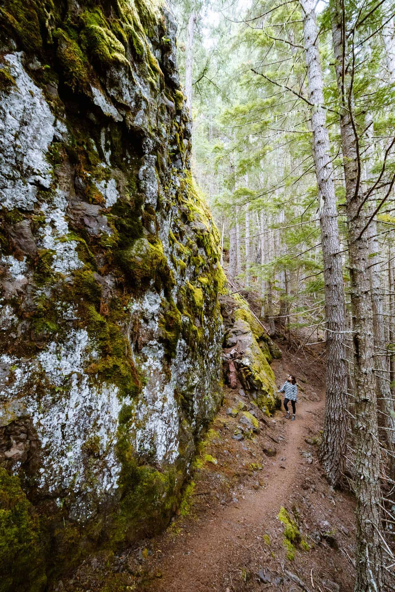
The trail to the plane crash goes by massive rocks that are a sight to see in itself.
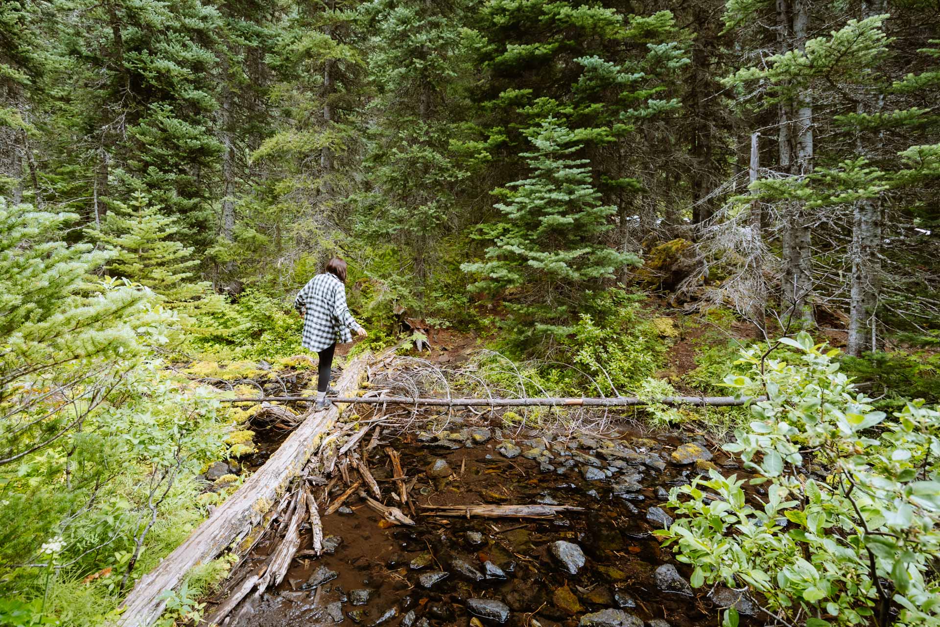
The 1.2 mile side-trip to the plane crash takes about 1 hour to complete but was totally worth it for us. It’s not too often that you get to see the remains of a 70-year-old plane amongst the natural landscape.
Campsites on the Tubal Cain Mine Trail
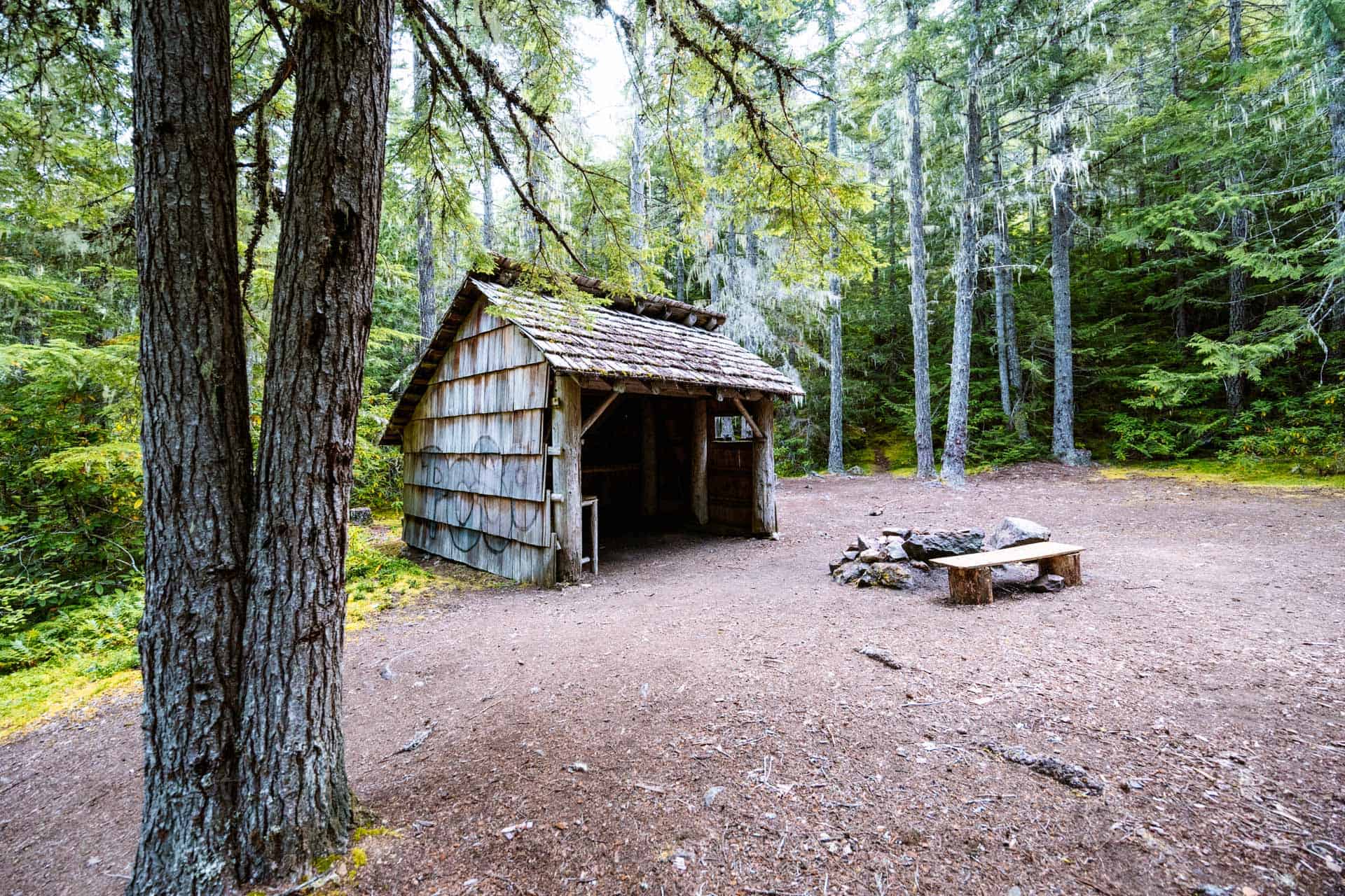
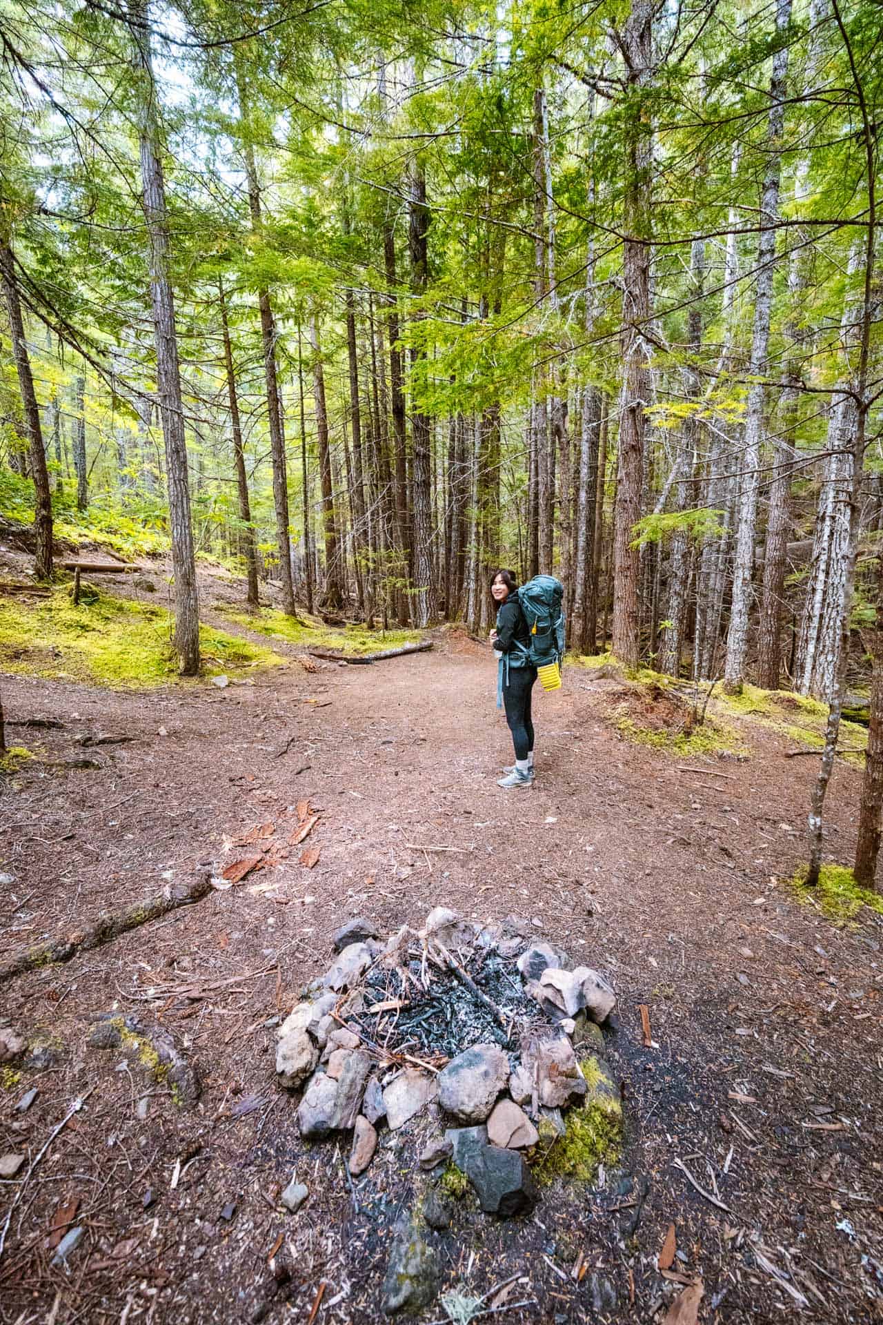
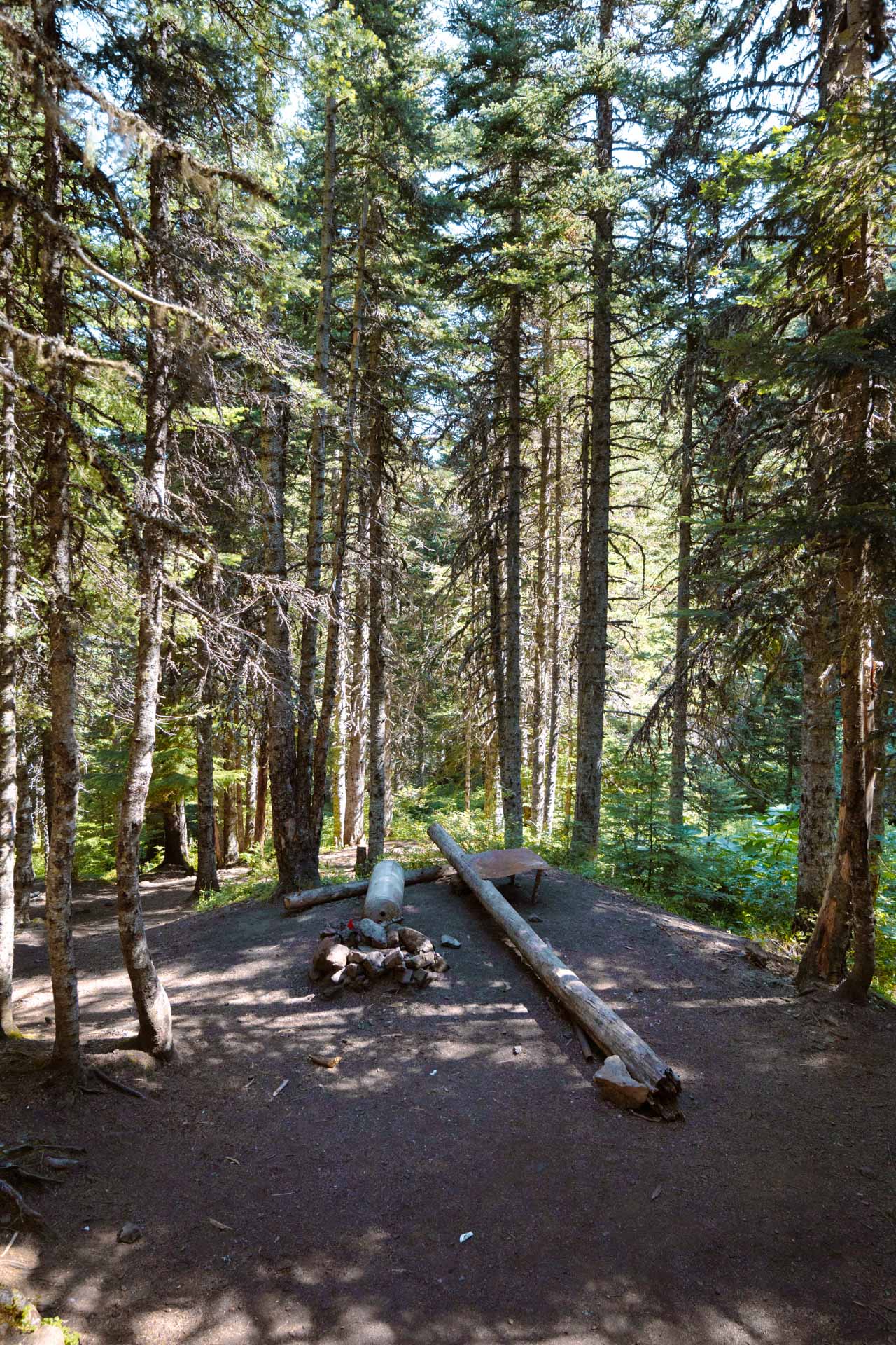
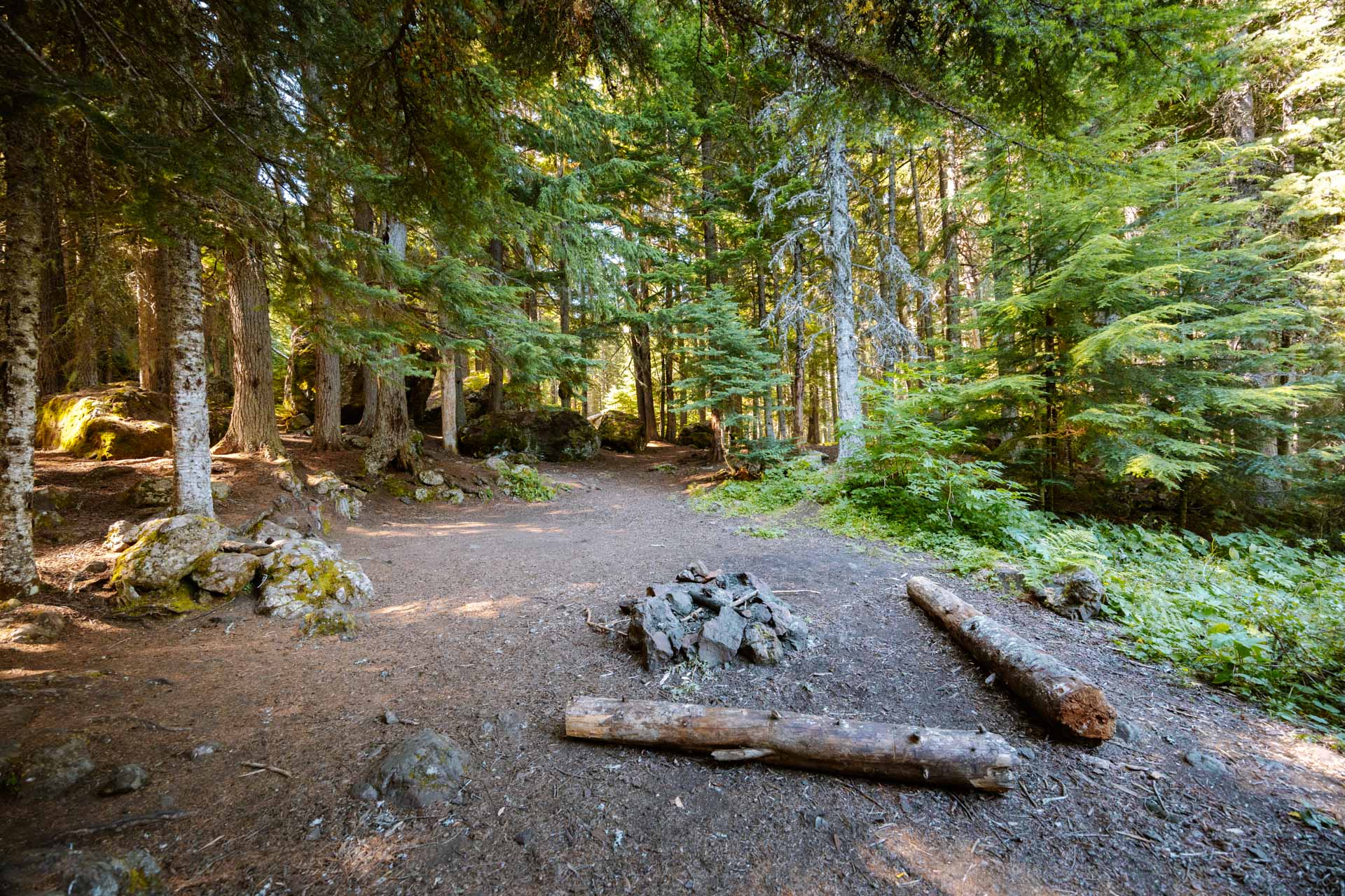
When we hiked up the Tubal Cain Mine Trail, we found lots of campsites along the way to Buckhorn Lake at a few different spots. All of these campsites are unmarked wilderness campsites and are first-come-first-serve:
- A few campsites at the Tubal Cain Trail entrance
- Many large campsites at the Copper Creek crossing
- About 5 campsites near Buckhorn Lake
Campfires are allowed at the campsites at the Tubal Cain Trail entrance and the Copper Creek crossing.
Campfires are not allowed at the campsites near Buckhorn Lake.
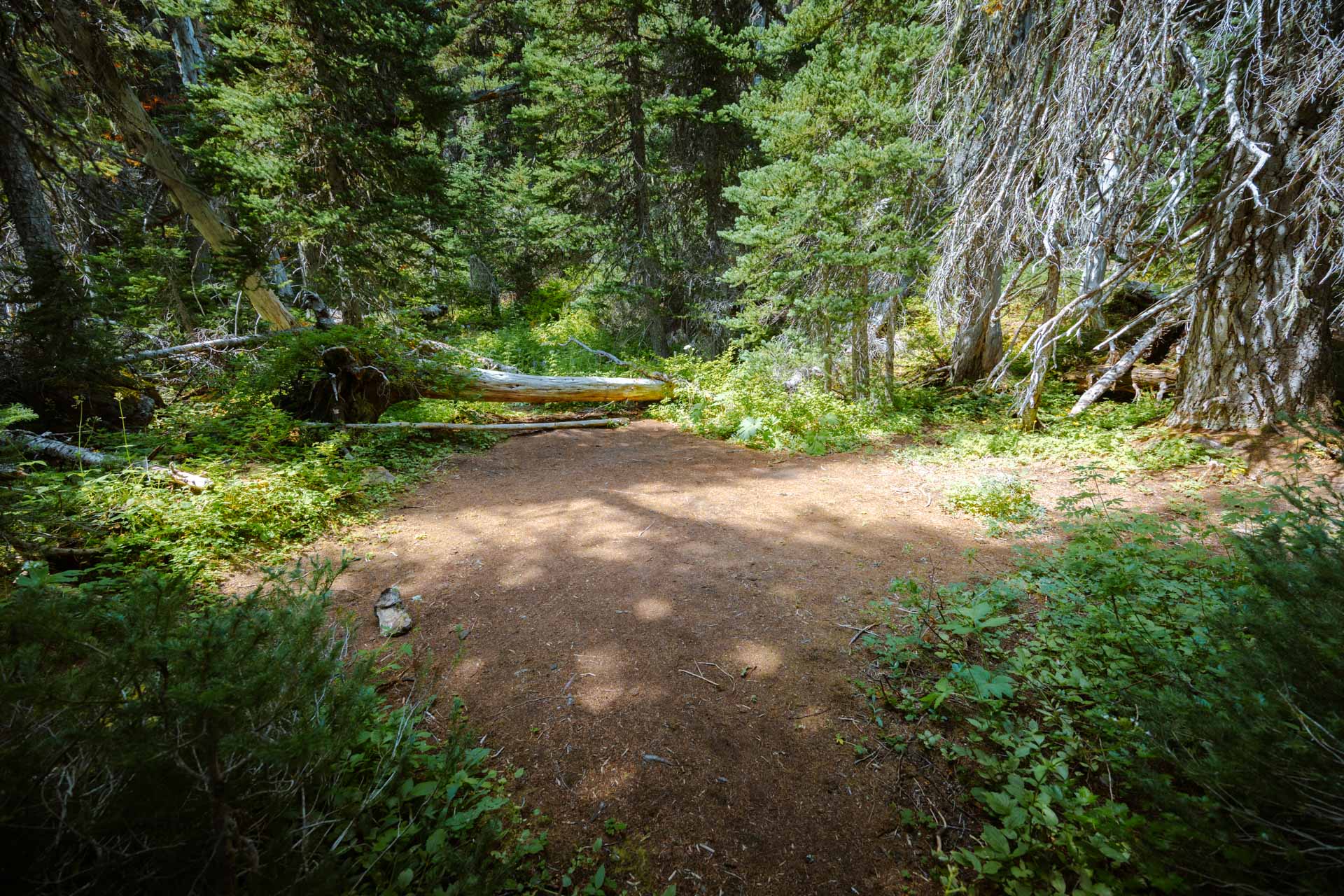
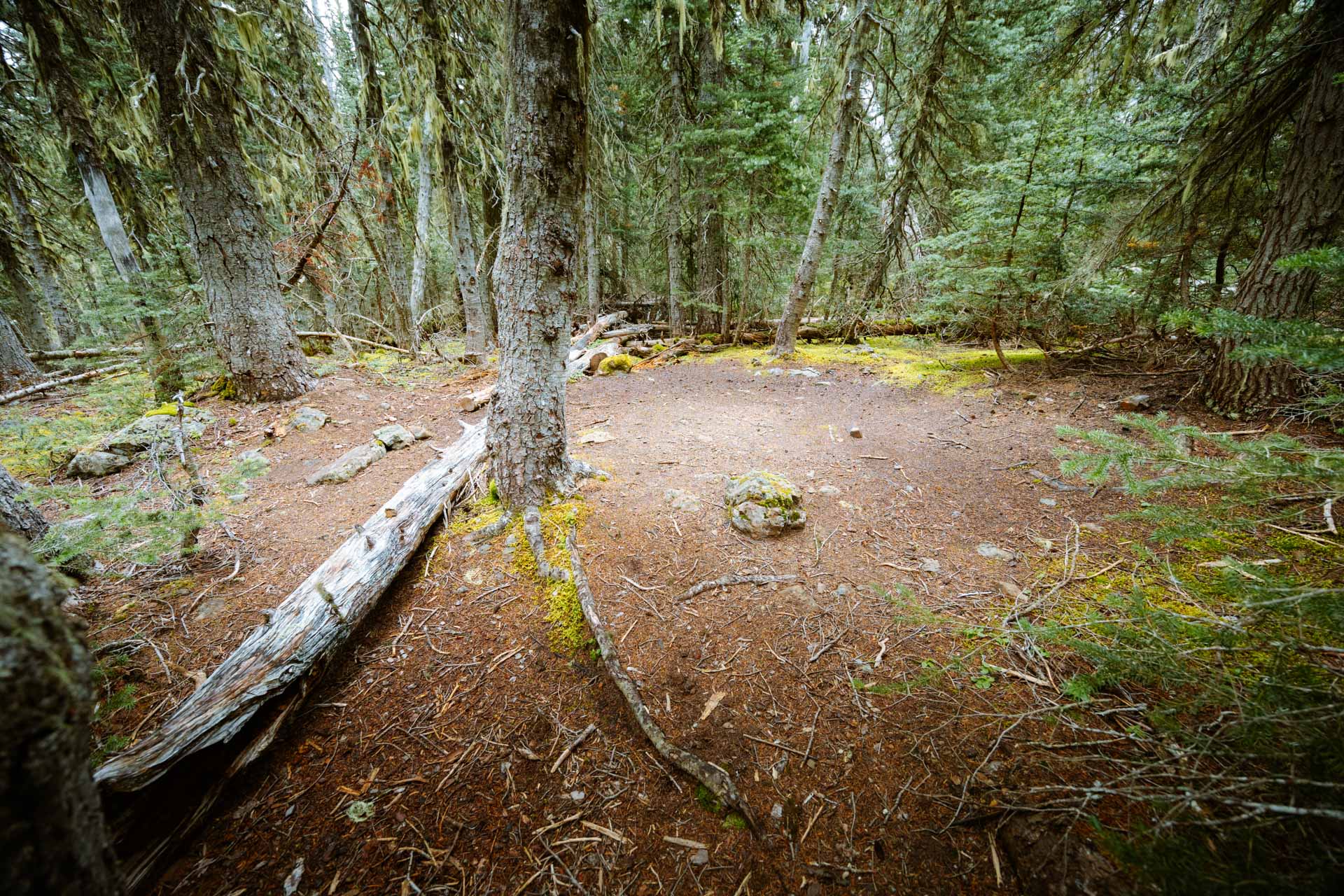
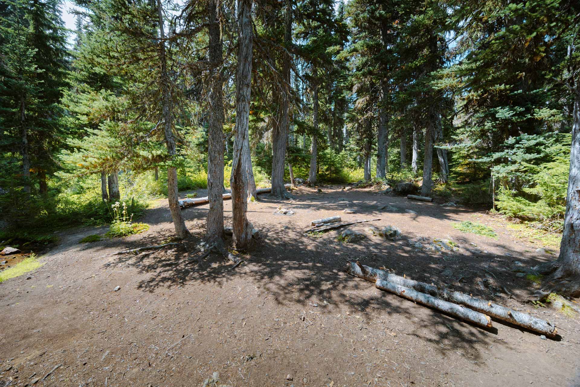
Here are photos of some of the campsites so you can get an idea of what they look like if you want to camp there:
CAMPSITES AT TUBAL CAIN TRAIL ENTRANCE
CAMPSITES AT COPPER CREEK CROSSING
CAMPSITES AT BUCKHORN LAKE
Wildflowers on the Tubal Cain Trail
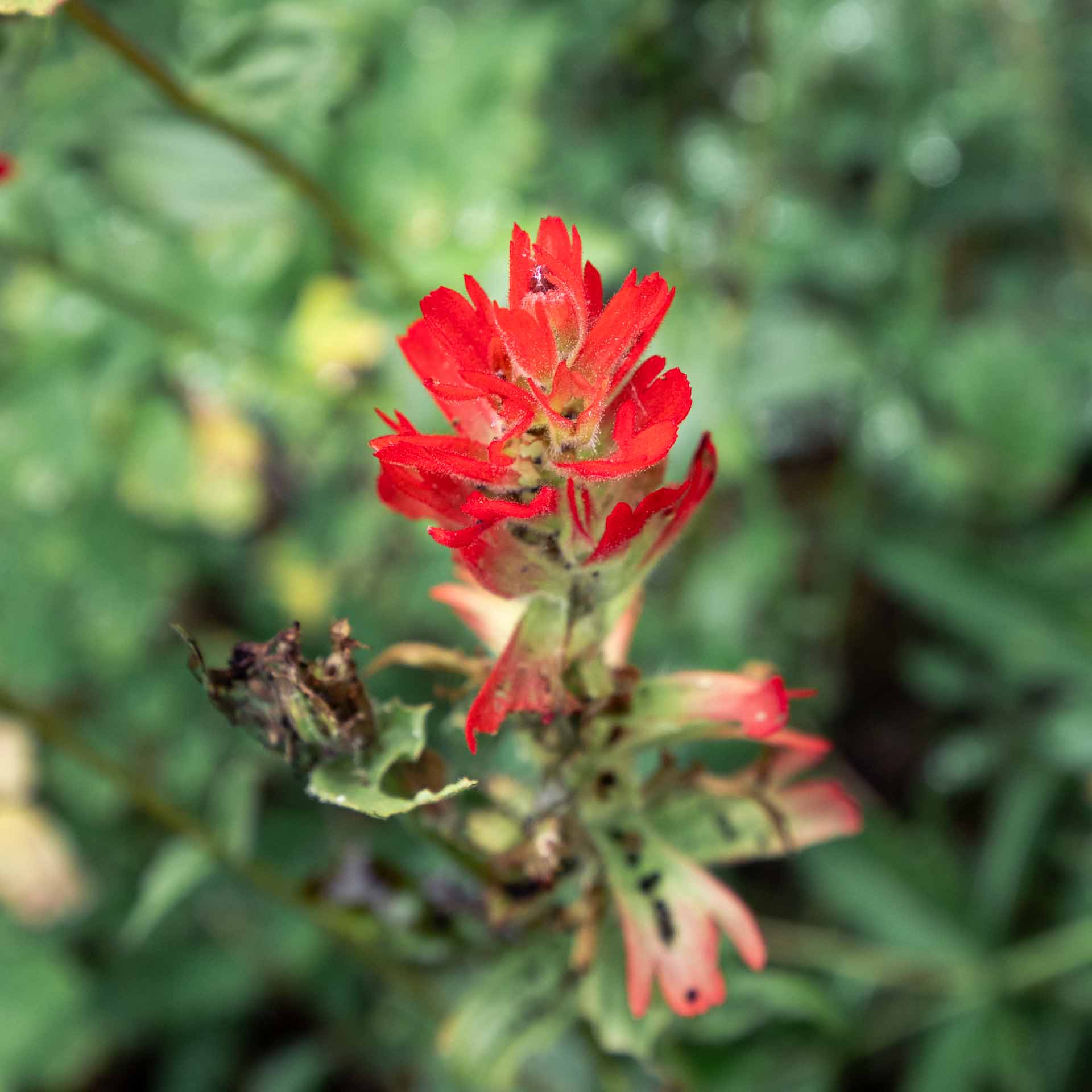
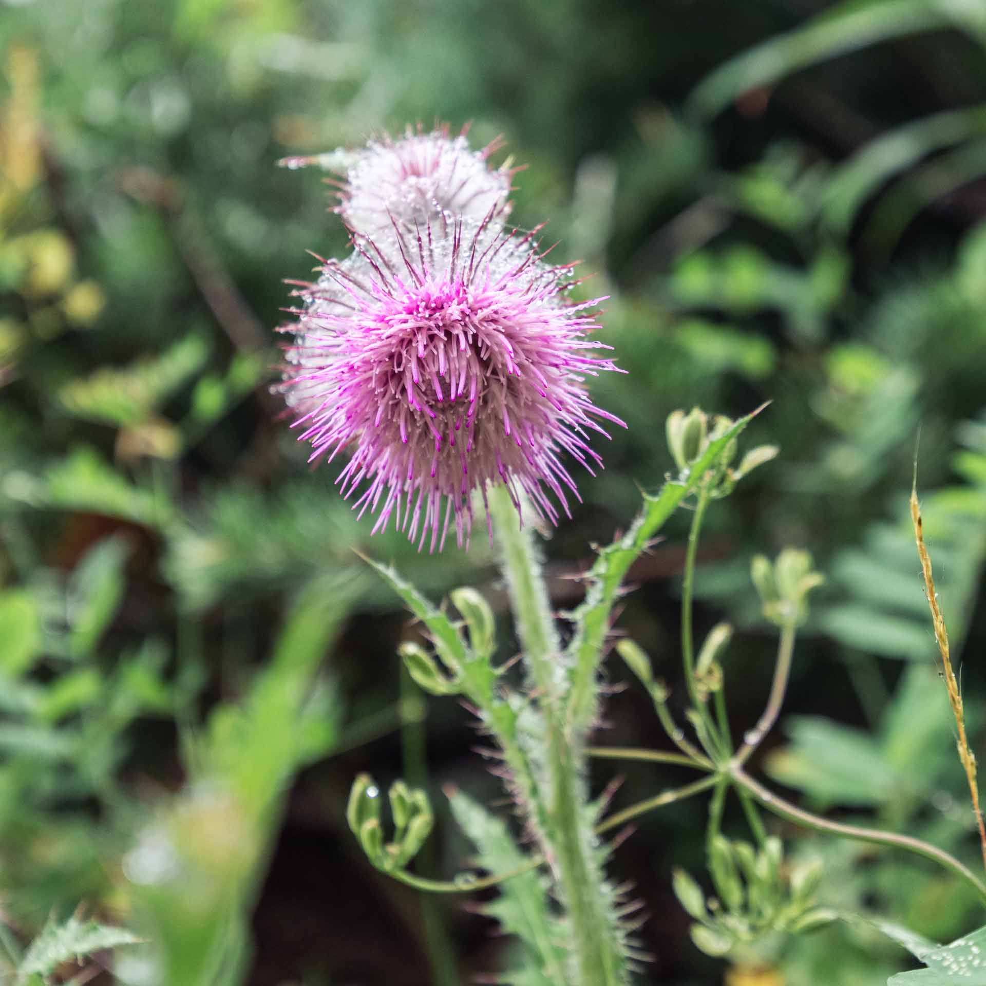
If you hike the Tubal Cain Trail during the summer like we did, you may catch some of its wildflower species in bloom. We were fortunate enough to see these species on the trail so I took photos of them to give you an idea of the types of flowers you can find there.
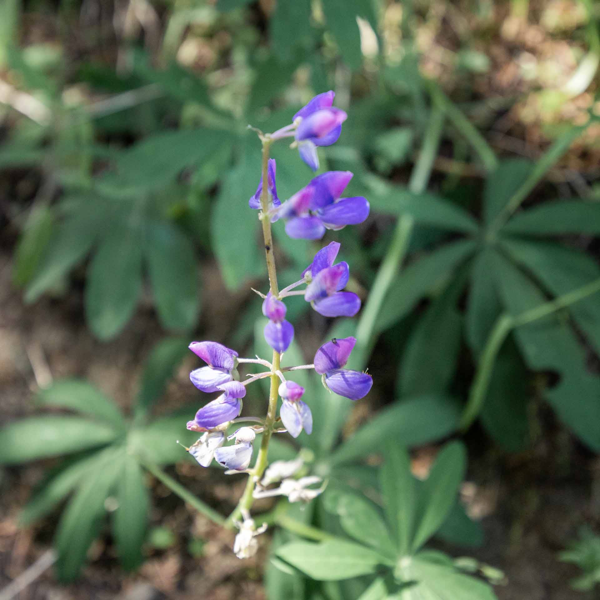
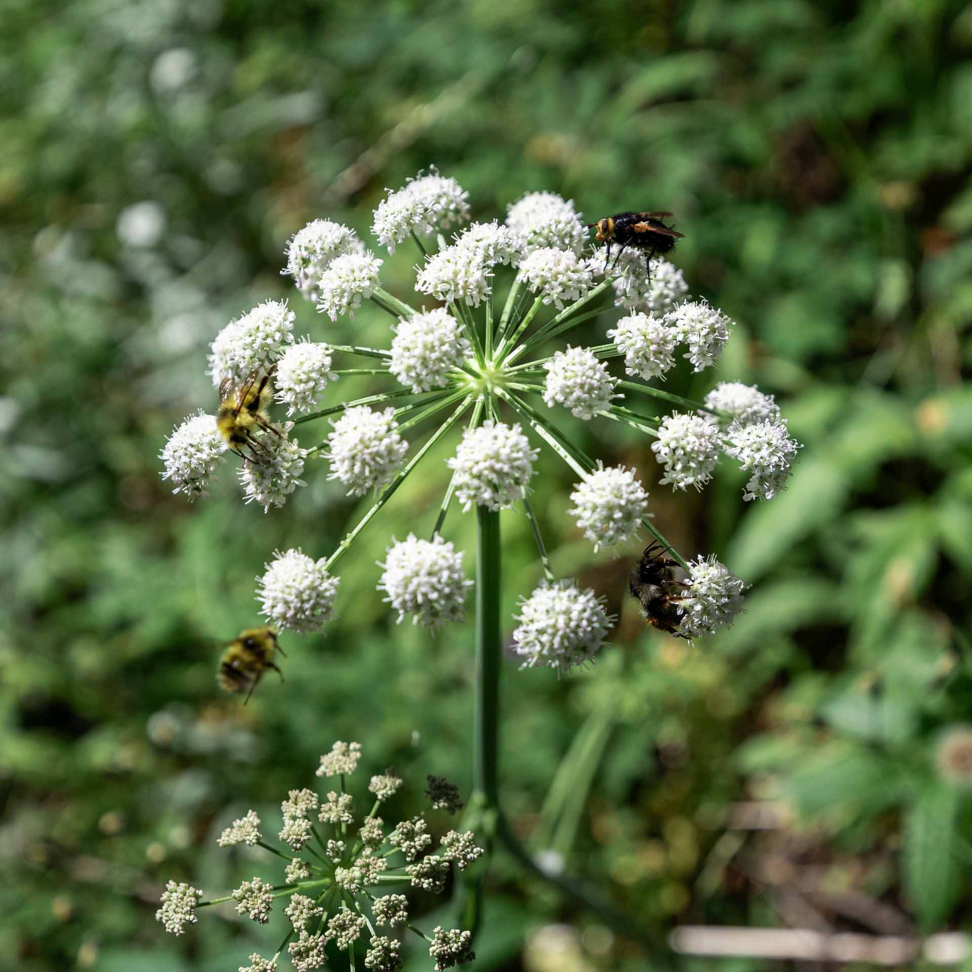
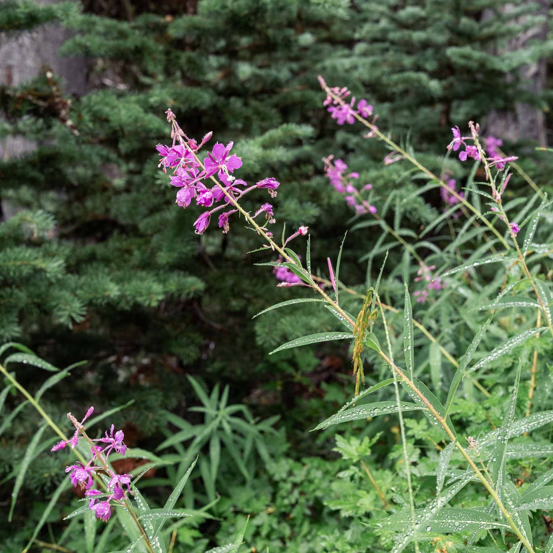
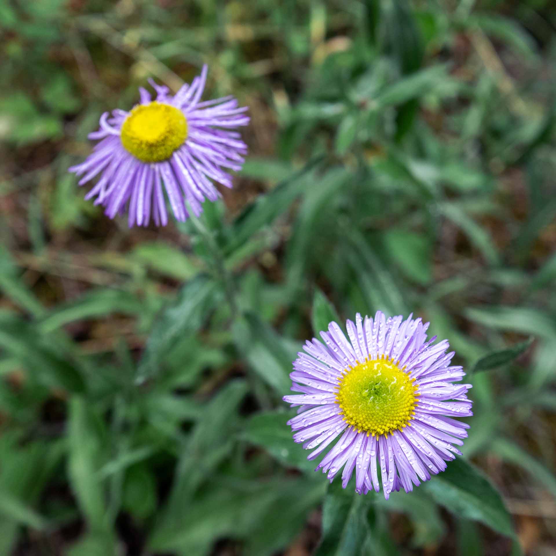
We hope you enjoyed our guide for hiking and camping at the Tubal Cain Mine to Buckhorn Lake Trail.
