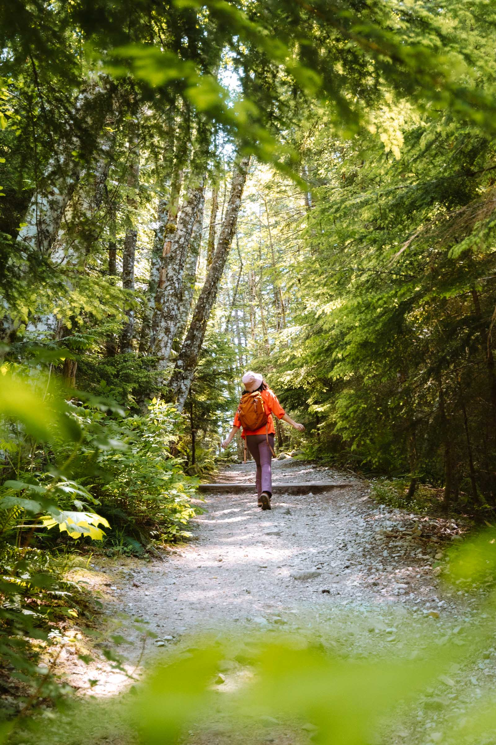
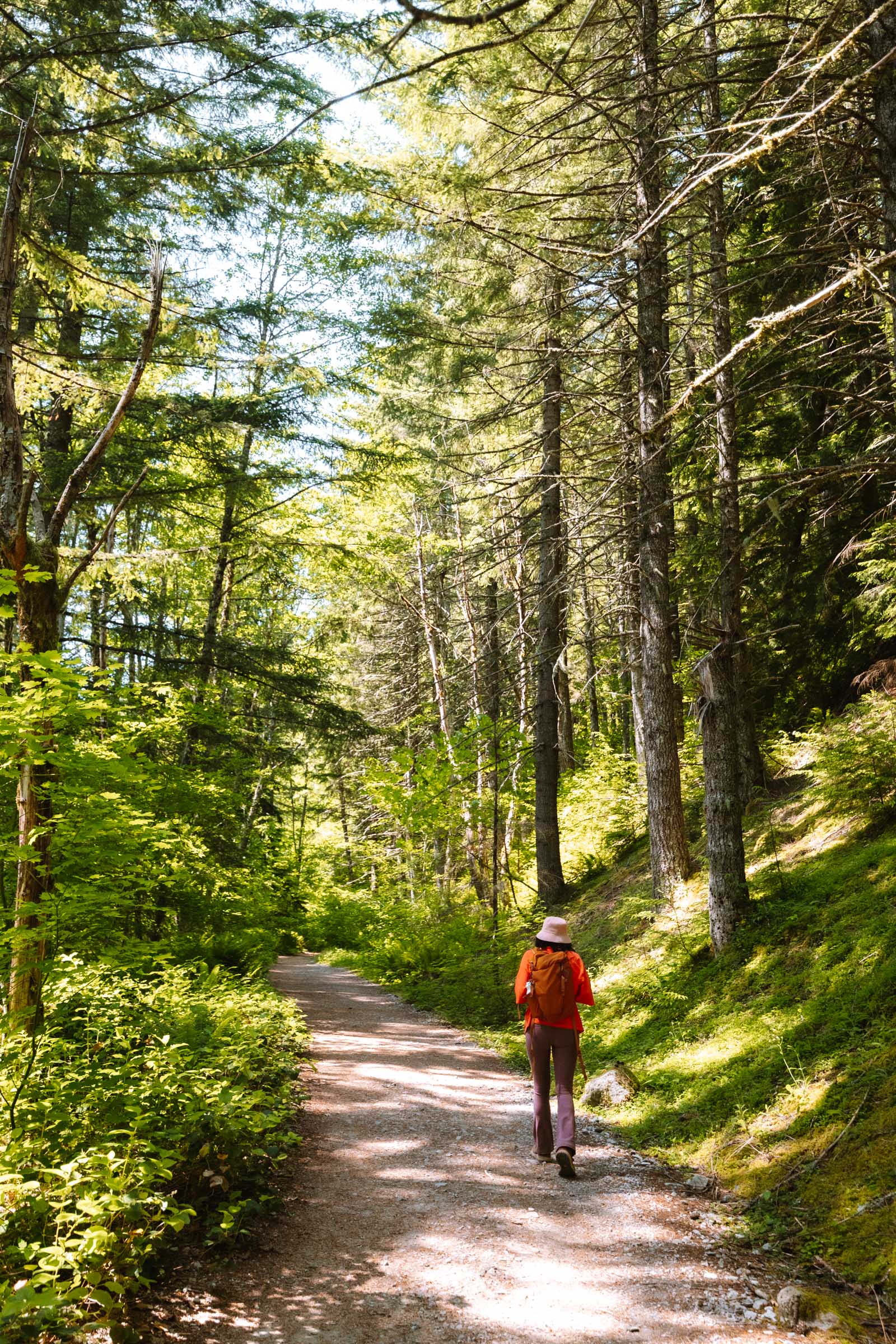
When we first started the hike to Mason Lake, it felt like a walk in the park. The trail started out wide, winding through a peaceful stretch of forest with a gentle incline. We thought, hey, this might be easier than we expected.
But that didn’t last. The trail turned into a steady uphill slog that kept going and going.
But between all the forested hills, there were some incredible payoffs: views of Mount Rainier peeking out over the horizon, wildflowers lining the trail, and of course, Mason Lake tucked into a basin of granite cliffs. The hike was worth every step.
In this guide, I’ll share everything you need to know before hiking to Mason Lake, including how to get there, what to expect on the trail, and tips from our own experience to help you make the most of your hike to this alpine lake near Seattle.
Mason Lake Complete Hiking Guide
The hike to Mason Lake is a 7-mile roundtrip journey to one of the most popular alpine lakes in Washington. It’s a moderately challenging hike due to its length and incline. It’s a popular trail for day hikers, backpackers, and the lake is even stocked with rainbow trout for fishing opportunities.
The trail to Mason Lake begins at the Ira Spring Trailhead and immediately ducks into a shady forest. The first section is relatively gentle as it crosses over a few creeks, including one with a small waterfall and a wooden bridge. After that, the trail steepens as it climbs through switchbacks and gains elevation.

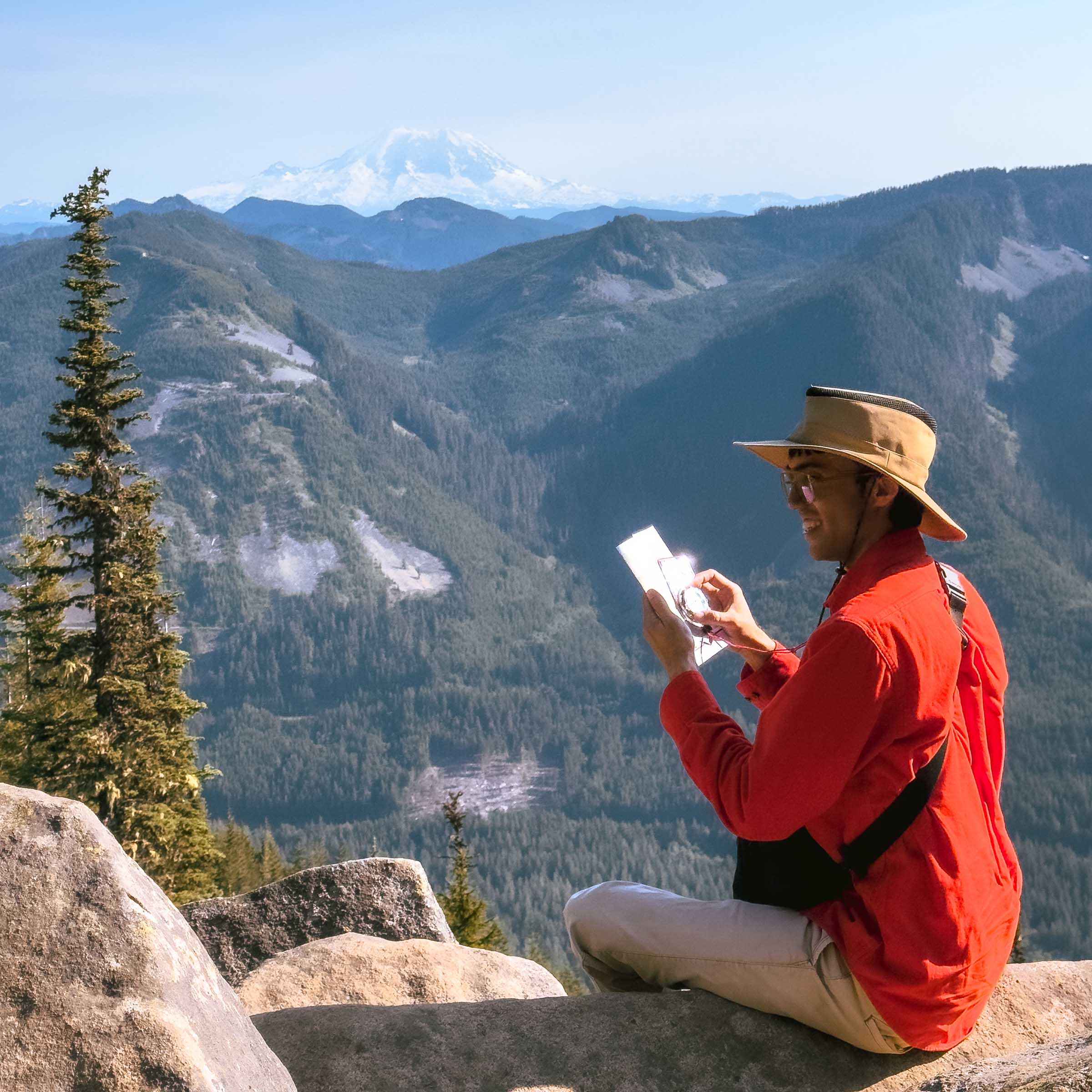
Along the way, you’ll pass through several rock-covered talus slopes, which open up views of the surrounding peaks and valleys around the I-90 corridor. You might even spot Mount Rainier peeking over the horizon on a clear day.

Eventually, you’ll reach the Ira Spring Lookout. Its the high point of the trail and a scenic area that’s perfect for a snack break with a view. From this point, the trail descends slightly into a mossy forest before reaching Mason Lake.

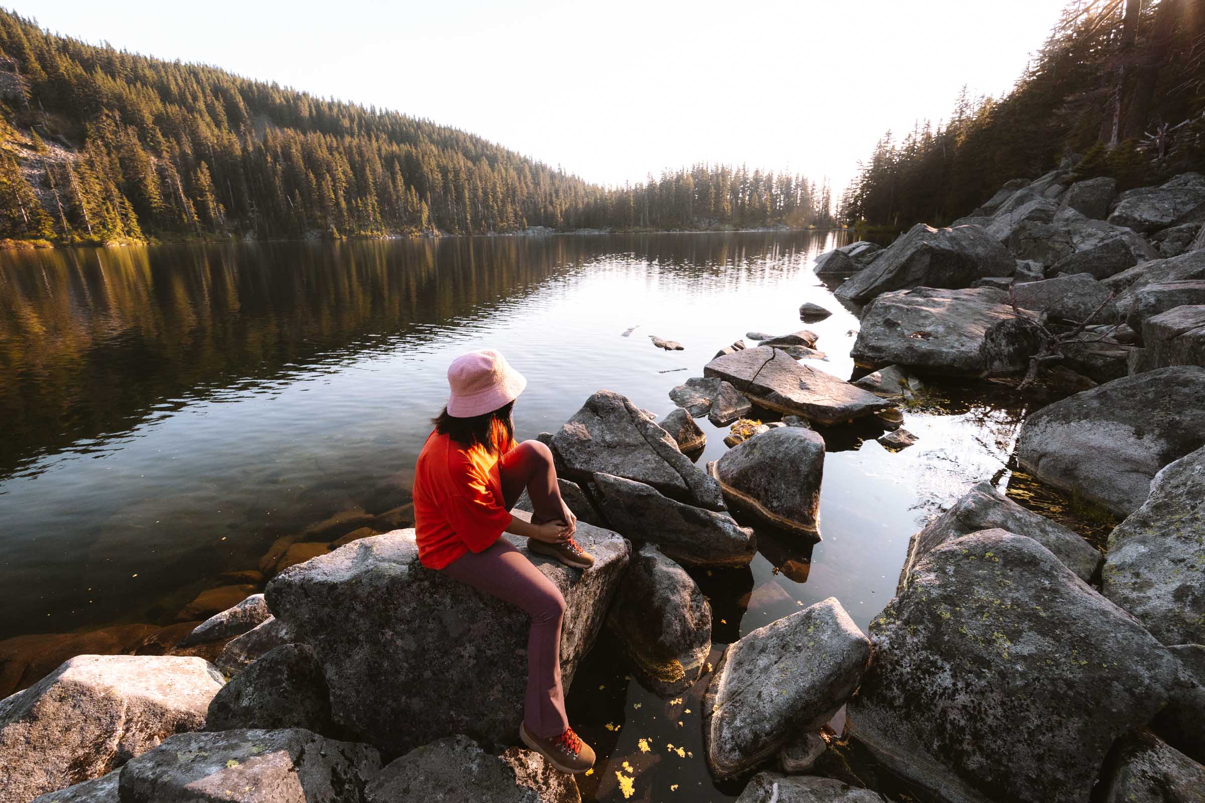
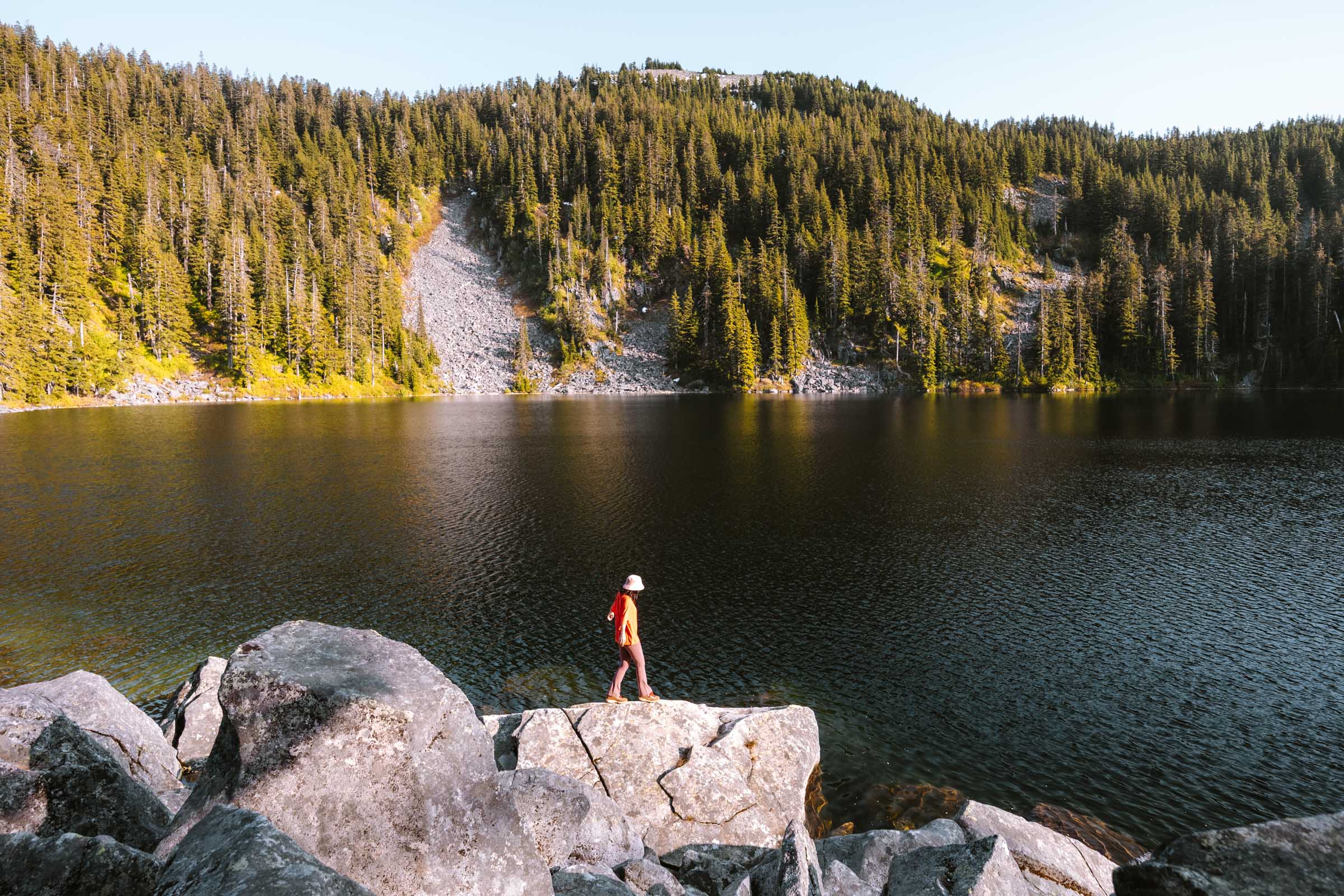
The shoreline of Mason Lake is rugged and rocky, but there are a few good spots to sit along its shoreline. Find a quiet boulder to lounge on, eat a snack, soak up the sun, and enjoy the peaceful alpine atmosphere before heading back down the way you came.


Mason Lake Hike Details
- Hike Distance: The total distance of the hike is about 7 miles, out-and-back.
- Hike Duration: The hike takes about 5-6 hours total, including time spent relaxing at the Lake.
- Hike Difficulty: The trail’s difficulty is moderate. The trail isn’t overly technical, but it is a long, constant uphill hike. The trail is mostly shaded, but you should bring at least 2 liters of water, especially if it’s hot out.
- Hike Incline: The total incline for this hike is about 2400 feet. The trail is uphill almost the entire way to Mason Lake, but it’s not super steep. There are a few switchbacks along the trail, but they are not overly strenuous.
- Dogs are allowed on this trail but must be on a leash. It is a popular trail, so expect lots of other dogs.
- A Northwest Forest Pass is required to park at the trailhead for Mason Lake.


How to Get to the Trailhead for Mason Lake
The hike to Mason Lake starts at the Ira Spring Trailhead, just off I-90 in Washington. From the freeway, take Exit 45 and follow Forest Road 9030 (Mason Lake Road) for about 4 miles. It’s an unpaved forest road most of the way, but can easily be done in a sedan. Just keep and eye out for a massive pothole right where the pavement turns to dirt. The rest of the road was in great shape.
Mason Lake is one of the more popular hikes near Seattle, so the parking lot at the trailhead fills up fast. To avoid the parking headache, your best bet is to either arrive early in the morning (before 8 AM) or later in the afternoon (around 2 PM). By going in the afternoon, you’ll catch the turnover as morning hikers leave. If the lot is full, overflow parking is allowed along the road.
The map location below for the Ira Spring Trailhead is accurate and can be used to navigate to the start of the trail for Mason Lake.


Mason Lake Hike: Our Experience
We started our adventure to Mason Lake on a Sunday afternoon. Bold move, I know, considering how popular the trail is on weekends. But luck was on our side. We rolled up around 2 PM and snagged a parking spot right in the main lot near the trailhead. A few spaces had opened up as the morning hikers trickled out. Off to a good start.
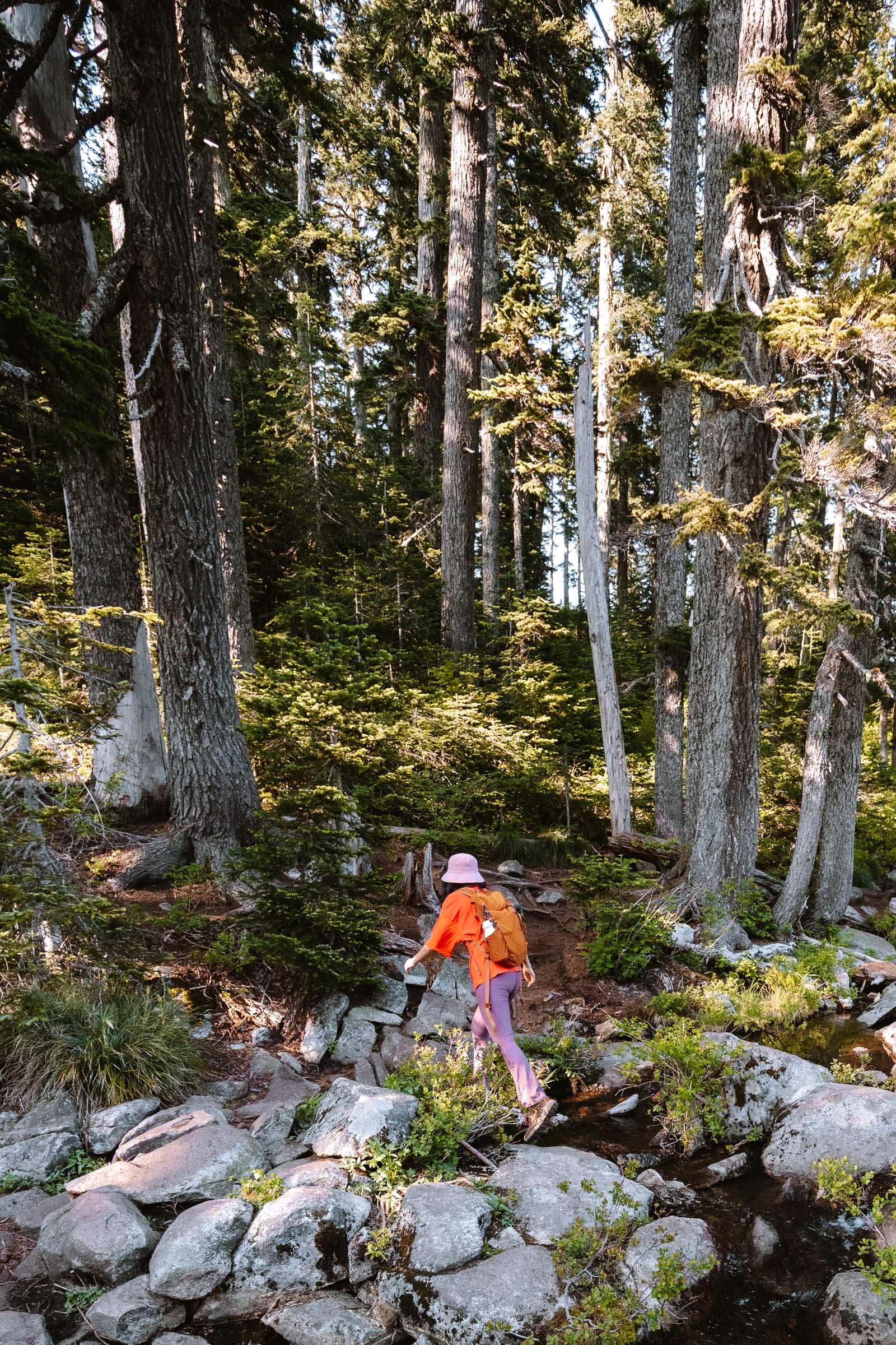
The trail began gently. It was more like a wide path or an old road than a hiking trail. It wound through quiet forest, climbing gradually and crossing a few small streams. One of them was a full-on waterfall, cascading below a sturdy wooden bridge.
After the waterfall, the trail’s incline picked up. That’s when the real slog began. The trail climbed steadily through the forest, broken up by a few talus slopes. On these big rocky stretches of trail, the trees disappeared and we caught views of the mountains on the other side of I-90.

Eventually we emerged into a wide-open talus field, and that’s when things got interesting. For the first time, we caught glimpses of Mount Rainier in the distance.
The trail switchbacked up the mountain before reaching its highest elevation at the Ira Spring Lookout. It’s a natural resting point with an incredible view so we dropped our packs and sat on one of the boulders to catch our breath. From there, Mount Rainier looked massive on the horizon, and we traced the trail winding back through the valley below.
But we weren’t done yet. From the lookout, the trail descended into a cooler, greener stretch of mossy forest. This was my favorite part of the hike. It had a soft dirt path winding between moss-covered rocks and trees.


And after crossing one final stream, we finally made it to Mason Lake. The lake was still, surrounded by granite slopes.
It had a dark blue look, and with the terrain around it, I wondered if there were some big trout lurking in its depths.

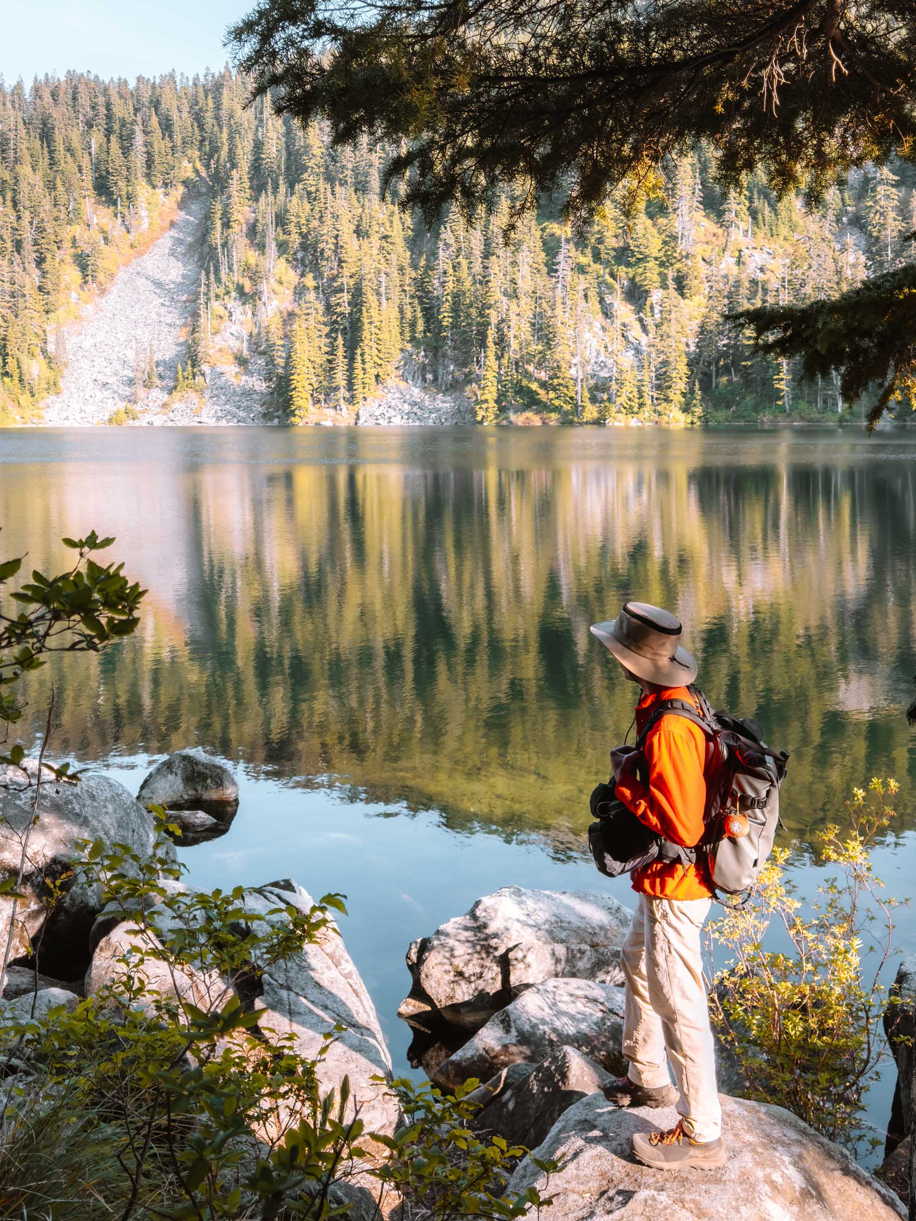

The lake’s shoreline was scattered with massive boulders, which made it tricky to find a flat spot to sit.
We scrambled around the rocks and explored the shoreline, soaking in the last scraps of daylight as the sun dipped behind the ridgeline.


Once the sun disappeared, the temperature dropped quickly. But that didn’t last long. When we hiked back up to the Ira Spring Lookout on the way out, the sun caught us again, casting a hazy evening glow on the trail.
By the time we made it back to the trailhead, dusk had just settled in. We were tired, a little dusty, but totally stoked on our hike to Mason Lake.


Mason Lake Hike Photos




More Hikes Near I-90 in Washington
We’re based in Seattle and have done a ton of hikes all along I-90 in Washington. To help fellow adventurers, we’ve put together guides to the best trails we found. You can check them out by clicking the links below.
- An alpine lake framed by granite cliffs and lingering snowfields: Snow Lake
- Trek through forests to two alpine lakes nestled beneath granite slopes: Talapus and Olallie Lakes
- Hike through forest and rocky slopes with views of Mount Rainier: Mason Lake
- Short hike to a rocky summit with panoramic views: Mount Catherine
- Hike to a frozen waterfall: Franklin Falls (Winter)
- A rocky ledge with sweeping views over I-90: Dirty Harry’s Balcony
I hope our guide to the Mason Lake hike in Washington helped you out in planning your trip there! Feel free to leave a comment below if you have any questions 🐸


